Scenic images (aerial and ground, panoramas, & videos) of everyday rural Oregon
  • Home
  • About
  • Landscapes
    • Columbia County Landscapes
    • Washington County Landscapes >
      • Washington County 360-degree panoramas
    • Yamhill County Landscapes >
      • Yamhill County 360-degree panoramas
    • Multnomah County Landscapes
    • Clackamas County Landscapes
    • Marion County Landscapes
    • Polk County Landscapes
    • Landscape videos
  • Willamette River
    • Willamette River Aerial Panoramas >
      • Columbia River to Oregon City
      • Oregon City to Salem
      • Salem to Springfield
      • The Coast Fork
      • The Middle Fork and the North Fork
    • Willamette River aerial photos >
      • Columbia to Burlingame Bridge
      • Burlingame Bridge to Ross Island Bridge
      • Ross Island to Elk Rock Island
      • Lake Oswego RR Bridge to Hog Island
      • Hog Island to Cedar Island
      • Meldrum Bay Park to Willamette Falls
      • Willamette Park to Wilsonville
      • Butteville Landing to San Salvador Beach
      • Grand Island to Willamette Mission Park
      • Spring Valley Greenway to Sunset Park
      • Buena Vista
    • Willamette River video
  • Cards (PW protected)
  • FAQ
  • Contact Us
  • Search
Picture
Salem to Springfield


​Clicking on an image below takes you to an interactive 360° panorama
​that you can swipe left/right and up/down, or zoom in/out.
​
Click on map buttons to see where the panoramas were photographed.
​
Picture
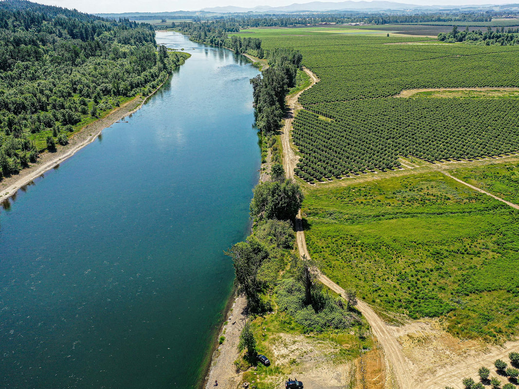
1. Social Security Fishing Hole, Between Salem and Independence, May 2021
map
Picture
2. Independence Riverview Park, July 2021
map
Picture
3. Buena Vista Park and Ferry, Buena Vista, May 2021
map
Picture
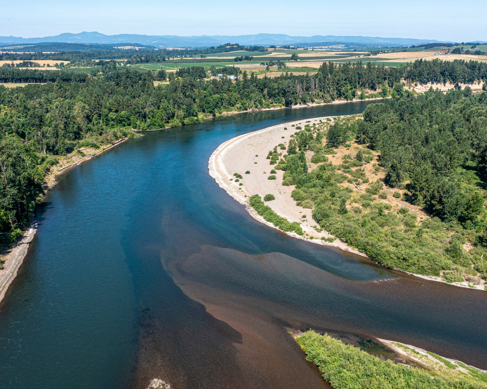
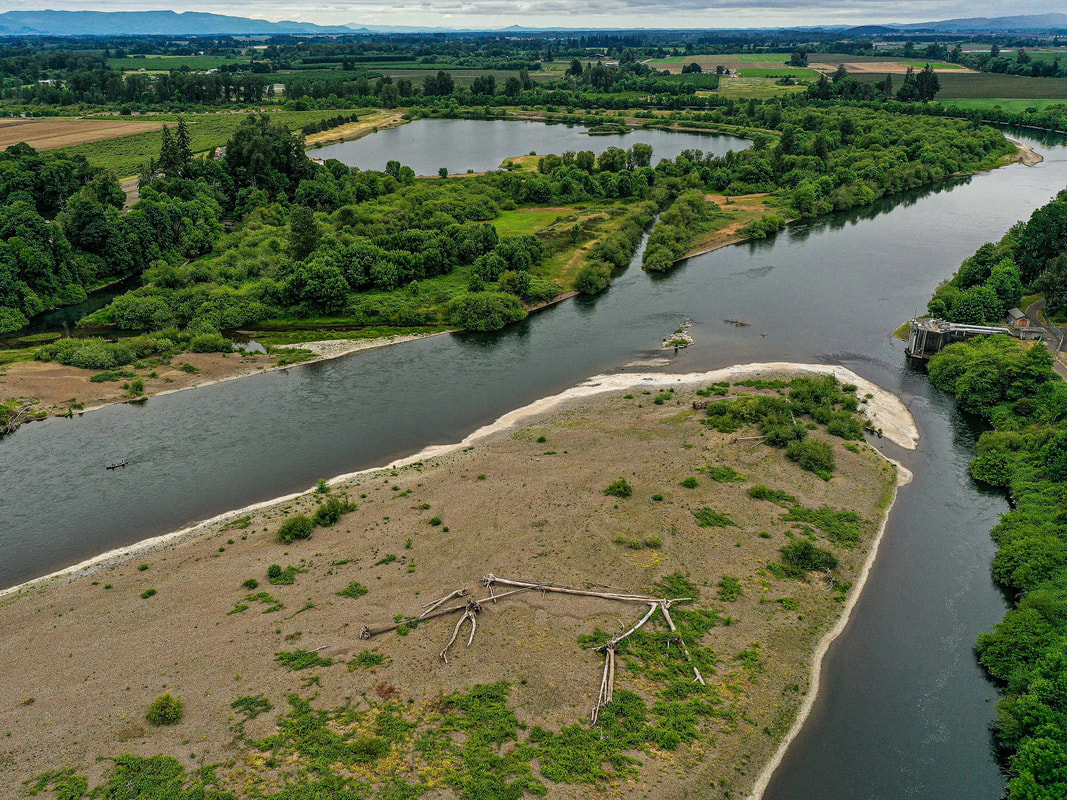
4. Willamette-Santiam confluence (Luckiamute Natural Area), July 2021
map
Picture
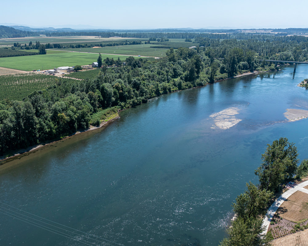
5. Hyak County Park, Albany, May 2021
map
Picture
6. Michael's Landing, Corvallis, May 2021
map
Picture
7. Crystal Lake Sports Fields, Corvallis, May 2021
map
Picture
8. Willamette Park, Corvallis, May 2021
map
Picture
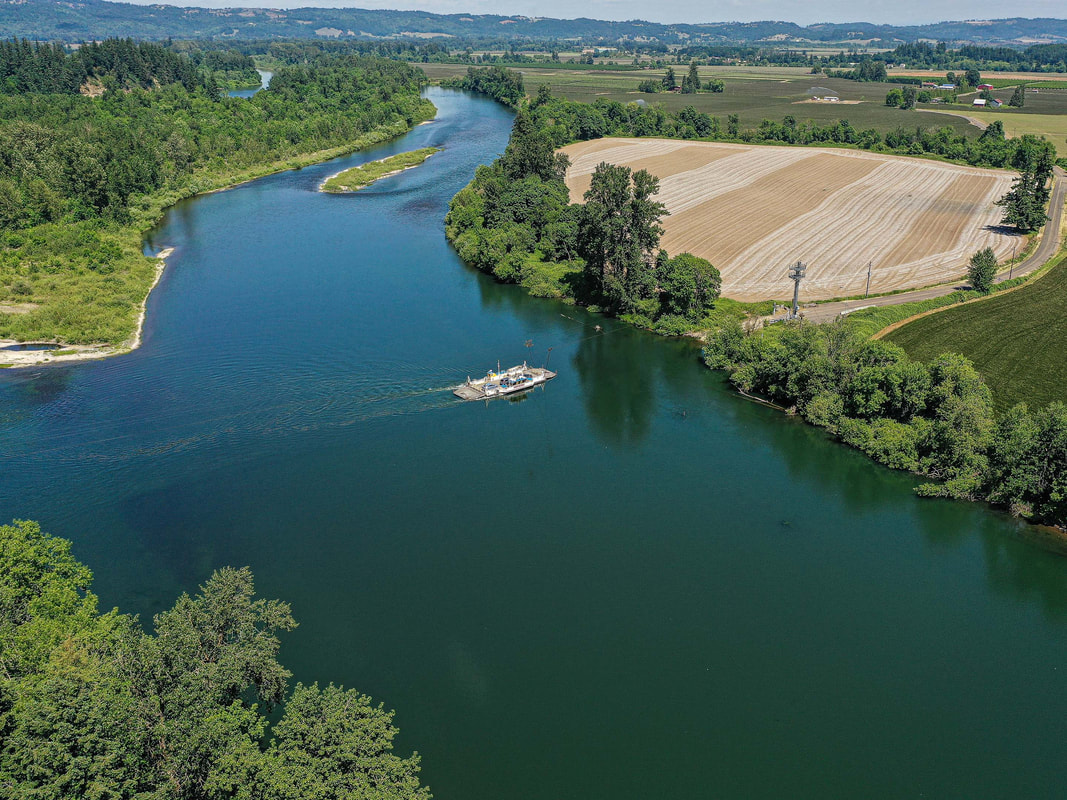
9. Peoria Park, Peoria, May 2021
map
Picture
10. Irish Bend County Park, August 2021
map
Picture
11. McCartney Park, July 2021
Map
Picture
12. Harrisburg Riverfront Park, July 2021
map
Picture
13. Marshall Island boat ramp, July 2021
map
Picture
14. The confluence of the Willamette and the McKenzie Rivers, River Loop Park, August 2021
map
Picture
15. Maurice Jacobs Park, June, 2021
map
Picture
16. Alton Baker Park, Eugene, May 2021
map
Picture
17. Alton Baker Park Boat Ramp, Eugene, May 2021
Map
Picture
18. West D Boat Ramp, Springfield, May 2021
map
Picture
19. Island Park, Springfield, May 2021
map
Columbia River to oregon city
oregon city to salem
the coast fork
the middle fork and the north fork
Scenic ground-level photos, interactive aerial
panoramas, and videos of everyday rural Oregon

Site last updated 4/25/2022
  • Home
  • About
  • Landscapes
    • Columbia County Landscapes
    • Washington County Landscapes >
      • Washington County 360-degree panoramas
    • Yamhill County Landscapes >
      • Yamhill County 360-degree panoramas
    • Multnomah County Landscapes
    • Clackamas County Landscapes
    • Marion County Landscapes
    • Polk County Landscapes
    • Landscape videos
  • Willamette River
    • Willamette River Aerial Panoramas >
      • Columbia River to Oregon City
      • Oregon City to Salem
      • Salem to Springfield
      • The Coast Fork
      • The Middle Fork and the North Fork
    • Willamette River aerial photos >
      • Columbia to Burlingame Bridge
      • Burlingame Bridge to Ross Island Bridge
      • Ross Island to Elk Rock Island
      • Lake Oswego RR Bridge to Hog Island
      • Hog Island to Cedar Island
      • Meldrum Bay Park to Willamette Falls
      • Willamette Park to Wilsonville
      • Butteville Landing to San Salvador Beach
      • Grand Island to Willamette Mission Park
      • Spring Valley Greenway to Sunset Park
      • Buena Vista
    • Willamette River video
  • Cards (PW protected)
  • FAQ
  • Contact Us
  • Search