Scenic images (aerial and ground, panoramas, & videos) of everyday rural Oregon
  • Home
  • About
  • Barns
  • Landscapes
  • Willamette River
  • Cards for Sale
  • FAQ
  • Contact Us
Picture
The Coast Fork

​Clicking on an image below takes you to an interactive 360° panorama
​that you can swipe left/right and up/down, or zoom in/out.
​Click images for maps where the panoramas were recorded.​​​
Picture
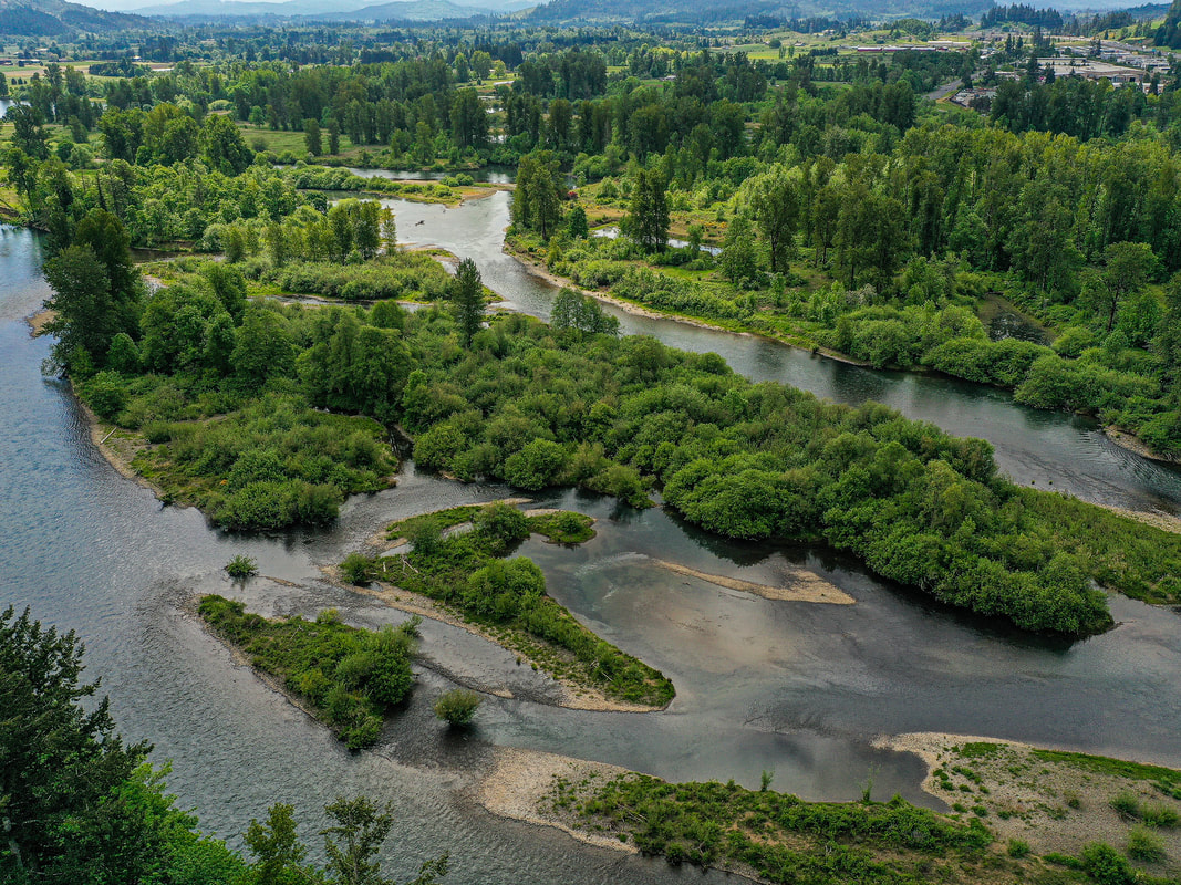
1. Confluence of the Coast Fork and Middle Fork of the Willamette, May 2021
map
Picture
2. Seavey Way, June 2021
map
Picture
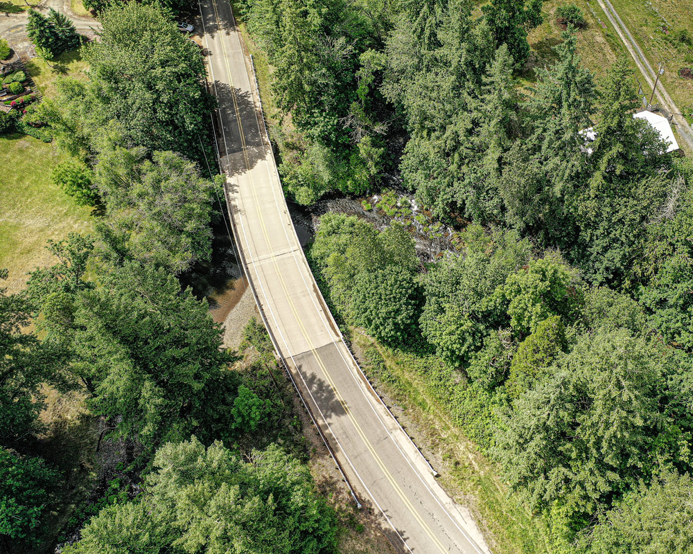
3. Hwy. 58 & Dilley Ln., June 2021
map
Picture
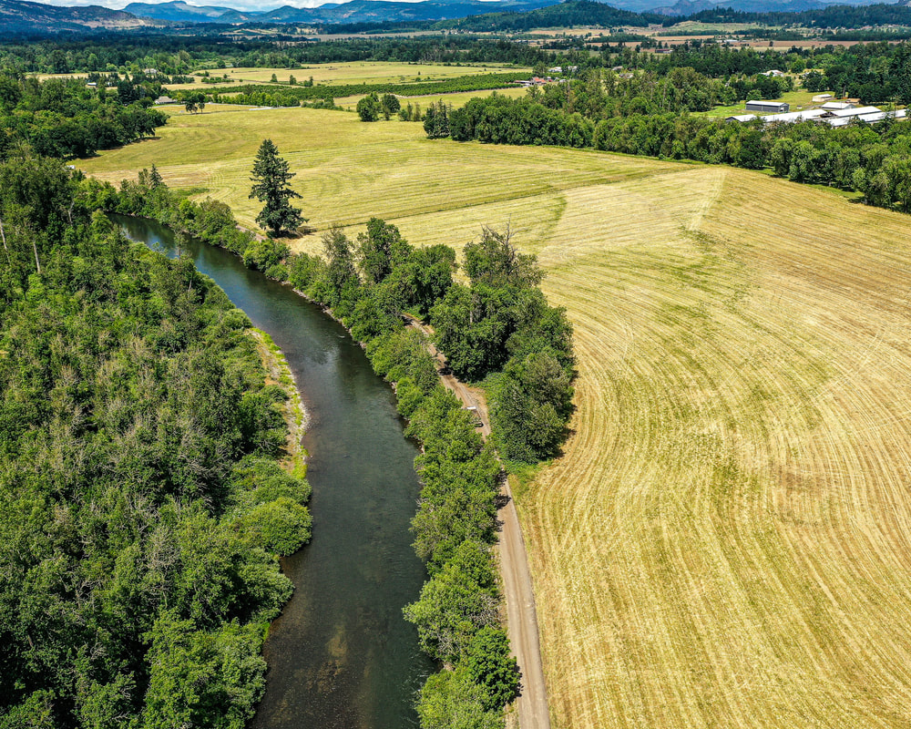
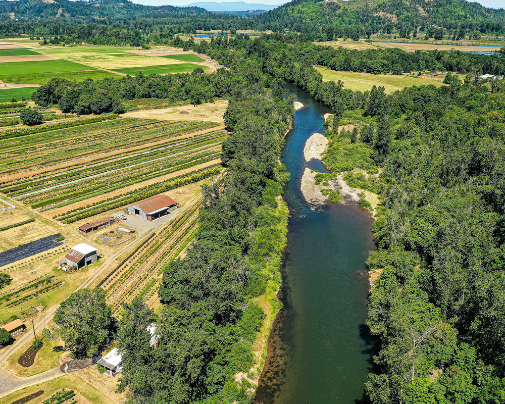
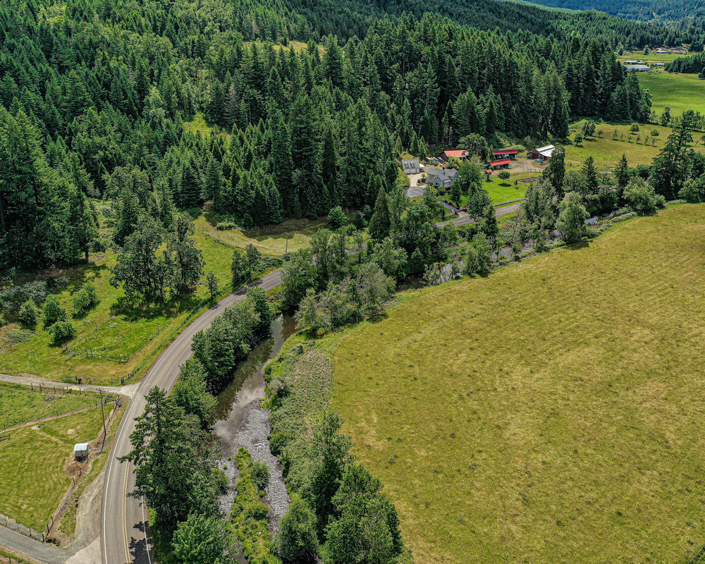
4. Cloverdale Rd, June 2021
map
Picture
5. River Rd., June 2015
map
Picture
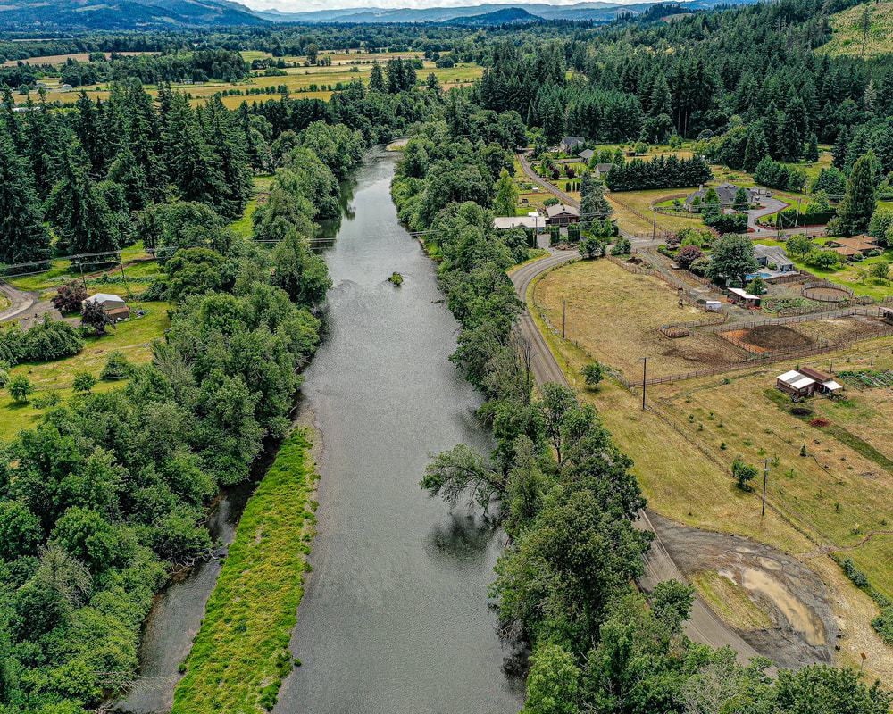
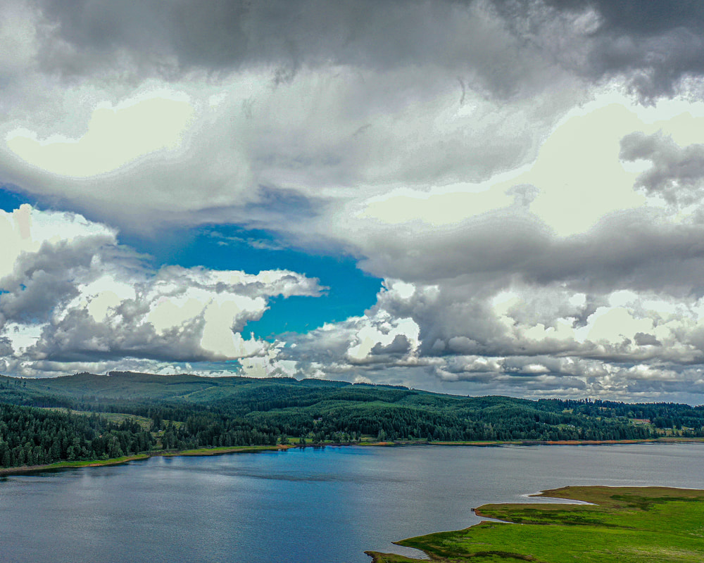
6. Reservoir Rd., June 2021
map
Picture
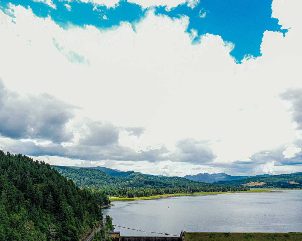
7. Cottage Grove Lake, June 2021
map
Picture
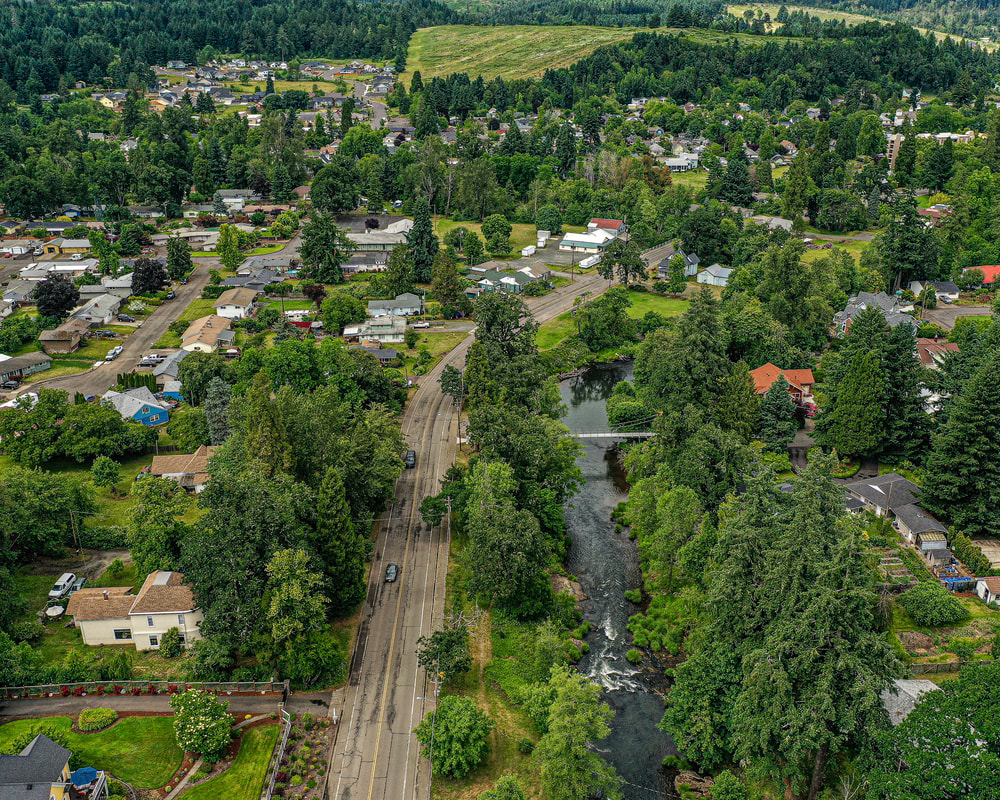
8. London Rd., June 2021
map
Picture
9. Confluence of the Big River and the Little River, forming the Coast Fork of the Willamette River, October 2021
map
Columbia River to oregon city
oregon city to salem
Salem to Springfield
the middle fork and the north fork
Scenic ground-level photos, interactive aerial
panoramas, and videos of everyday rural Oregon

Site last modified 2/7/23
  • Home
  • About
  • Barns
  • Landscapes
  • Willamette River
  • Cards for Sale
  • FAQ
  • Contact Us