|
|
Pages on the site are categorized by county and identified by the nearest town or community, as given by Google Maps.
Left-clicking on any of the landscape photographs will take you to a Google Maps page showing the location where the photo was taken. (Maps are not shown for barn photos.)
Click on an image on the panorama pages to link to the interactive 360° aerial panoramas; then navigate the panoramas by swiping left/right, swiping up/down, or zooming in/out. Click on the panorama map buttons to show where the panorama was recorded.
For more information, visit the FAQ page.
Send comments and ask questions here.
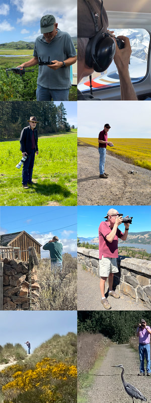
--P. R. Brandon, Forest Grove, Oregon
Left-clicking on any of the landscape photographs will take you to a Google Maps page showing the location where the photo was taken. (Maps are not shown for barn photos.)
Click on an image on the panorama pages to link to the interactive 360° aerial panoramas; then navigate the panoramas by swiping left/right, swiping up/down, or zooming in/out. Click on the panorama map buttons to show where the panorama was recorded.
For more information, visit the FAQ page.
Send comments and ask questions here.
--P. R. Brandon, Forest Grove, Oregon
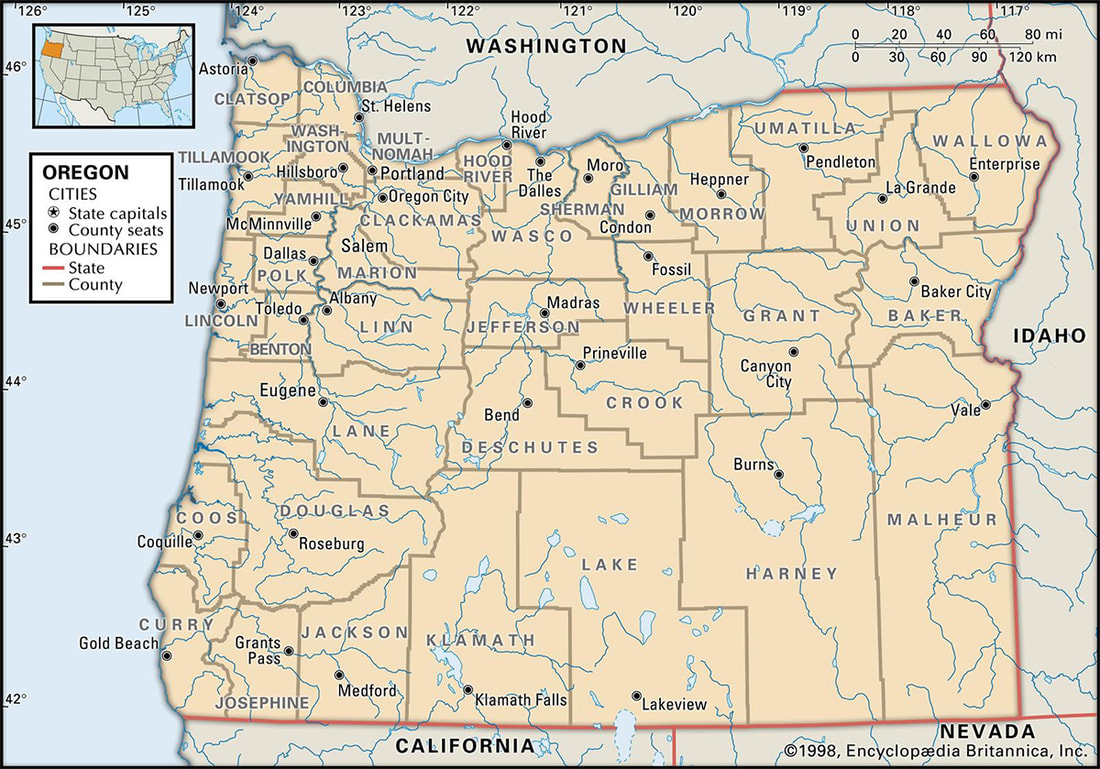
All content is categorized by county.