Scenic images (aerial and ground, panoramas, & videos) of everyday rural Oregon
  • Home
  • About
  • Landscapes
    • Columbia County Landscapes
    • Washington County Landscapes >
      • Washington County 360-degree panoramas
    • Yamhill County Landscapes >
      • Yamhill County 360-degree panoramas
    • Multnomah County Landscapes
    • Clackamas County Landscapes
    • Marion County Landscapes
    • Polk County Landscapes
    • Landscape videos
  • Willamette River
    • Willamette River Aerial Panoramas >
      • Columbia River to Oregon City
      • Oregon City to Salem
      • Salem to Springfield
      • The Coast Fork
      • The Middle Fork and the North Fork
    • Willamette River aerial photos >
      • Columbia to Burlingame Bridge
      • Burlingame Bridge to Ross Island Bridge
      • Ross Island to Elk Rock Island
      • Lake Oswego RR Bridge to Hog Island
      • Hog Island to Cedar Island
      • Meldrum Bay Park to Willamette Falls
      • Willamette Park to Wilsonville
      • Butteville Landing to San Salvador Beach
      • Grand Island to Willamette Mission Park
      • Spring Valley Greenway to Sunset Park
      • Buena Vista
    • Willamette River video
  • Cards (PW protected)
  • FAQ
  • Contact Us
  • Search
Picture
​
​

Oregon City to Salem
.
​
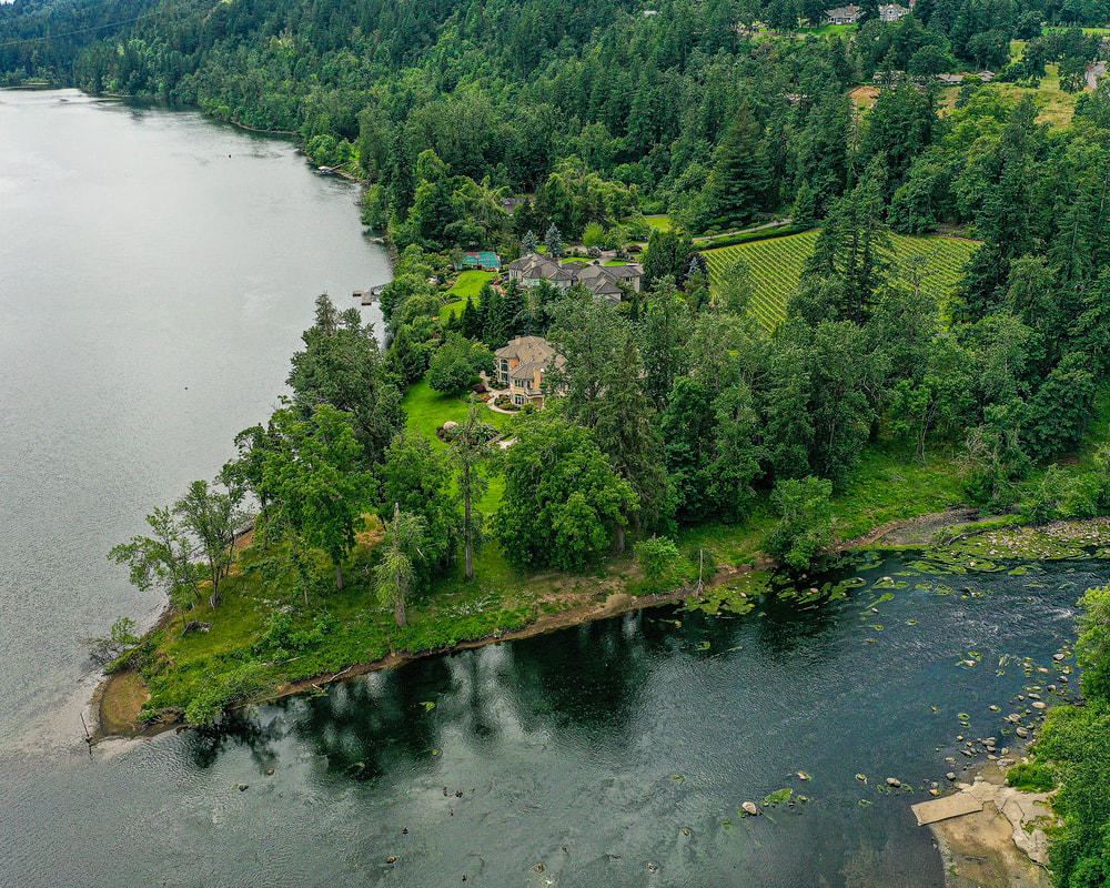
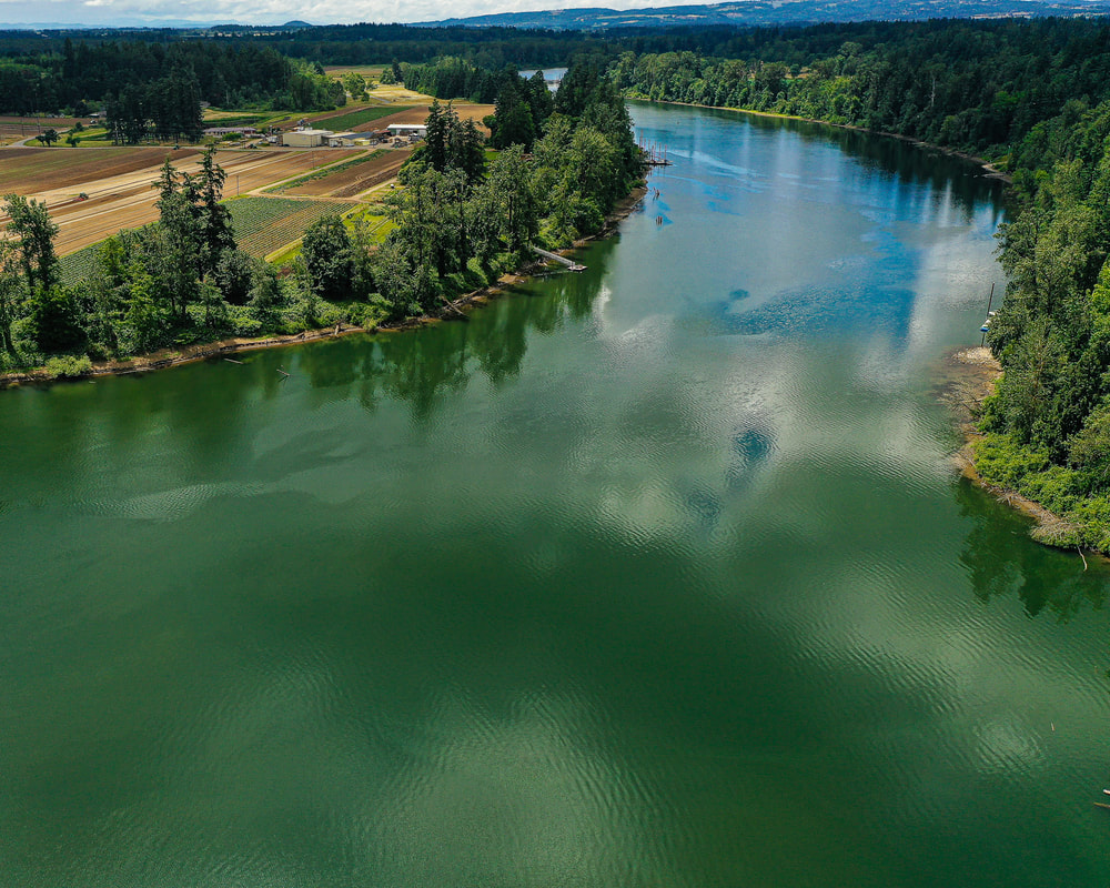
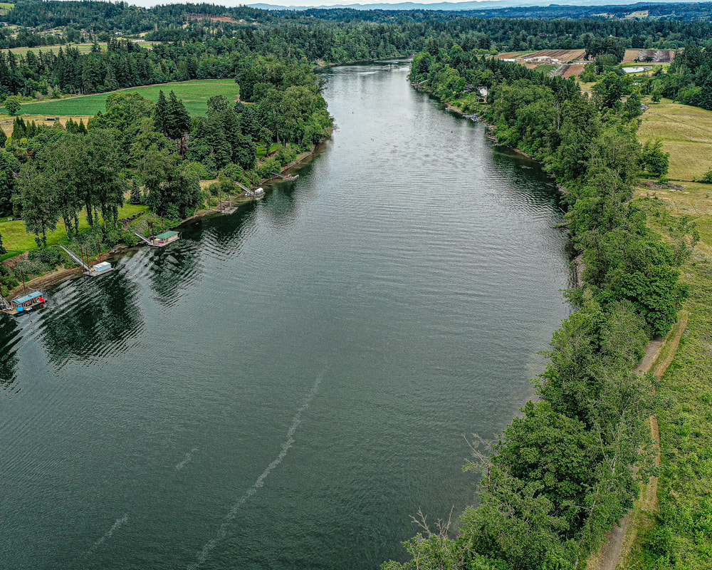
​Clicking on an image below takes you to an interactive 360° panorama
​that you can swipe left/right and up/down, or zoom in/out.
​
Click on map buttons to see where the panoramas were photographed.
​
Picture
1. Confluence with the Tualatin River at Bernert Landing (Willamette Park), June 2021
map
Picture
2. Hebb County Park, June 2021
map
Picture
3. Molalla River State Park, June 2021
Map
Picture
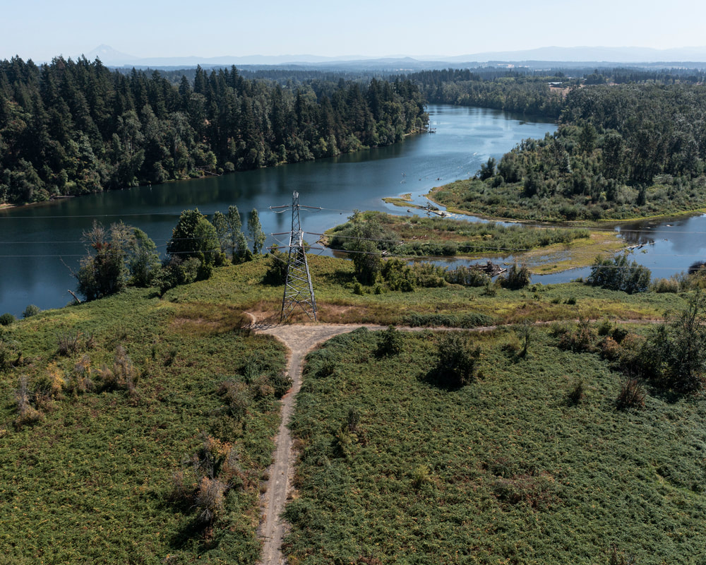
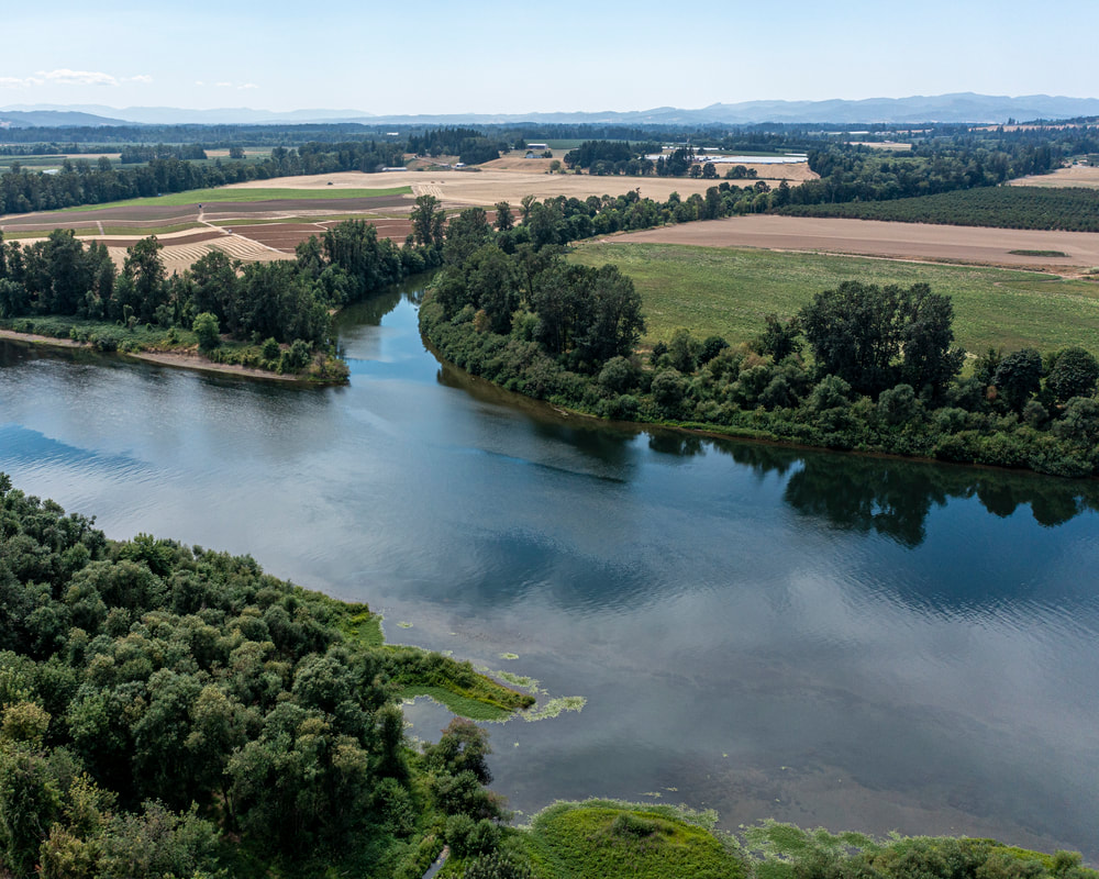
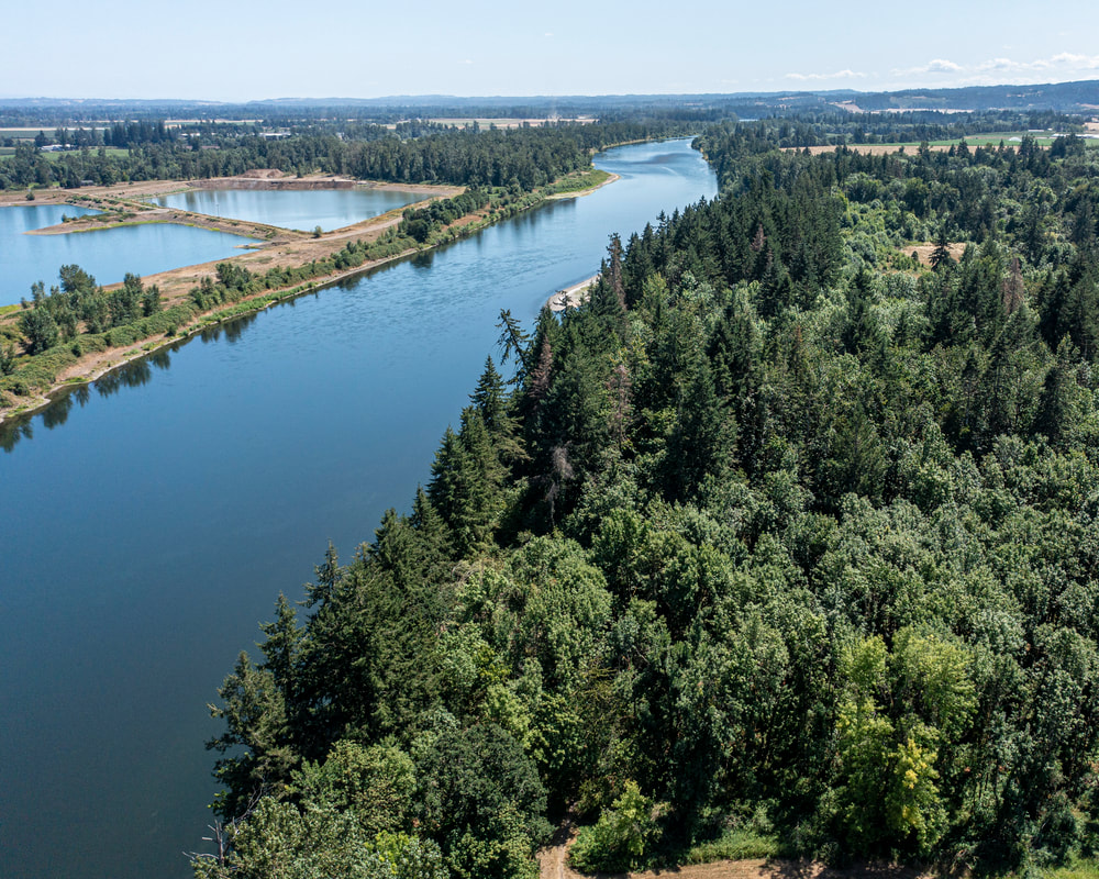
4. Confluence of the Willamette with the Molalla River, September 2021
map
Picture
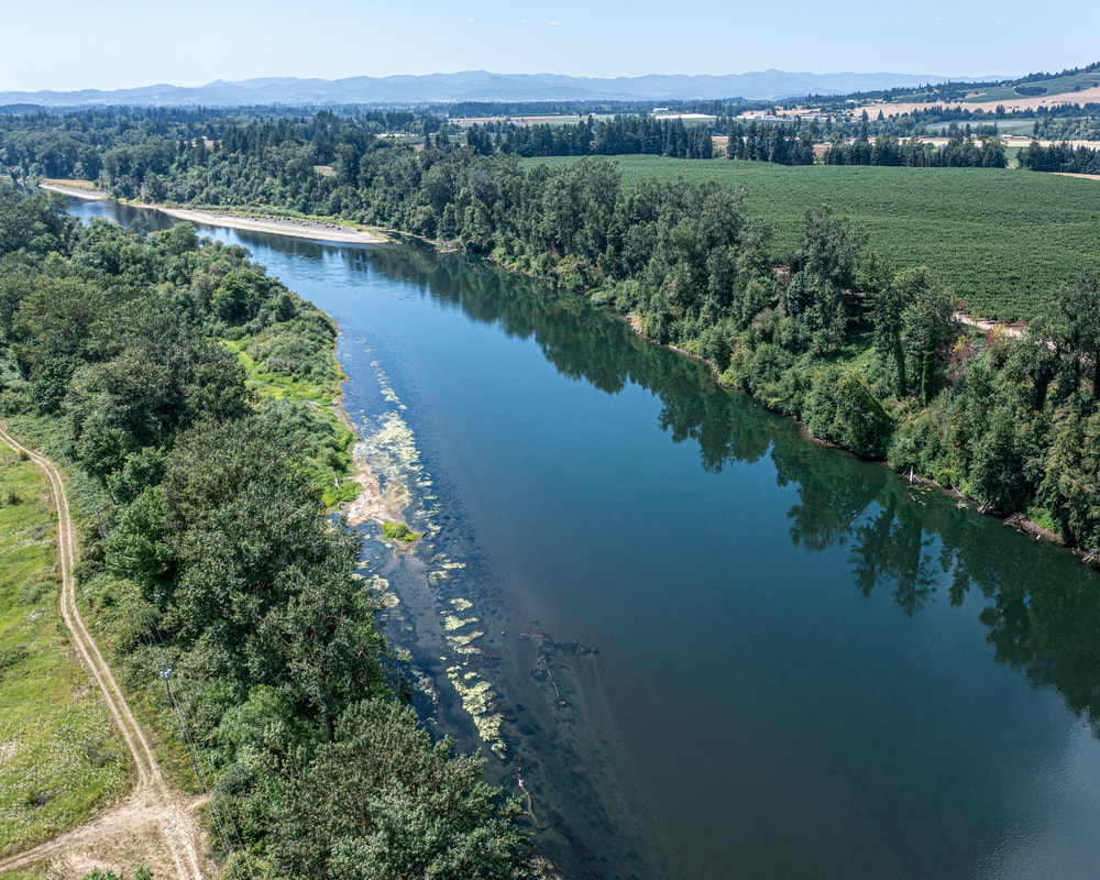
5. Butteville Landing, June 2021
map
Picture
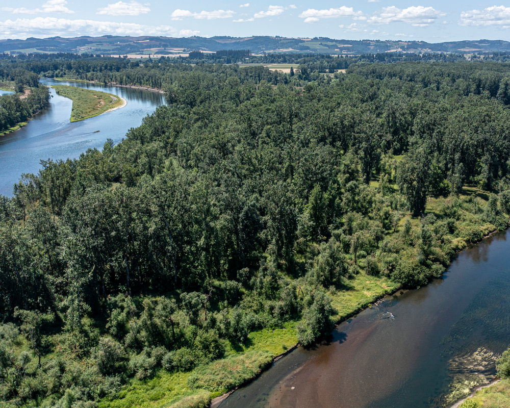
6. Champoeg State Park, June 2021
map
Picture
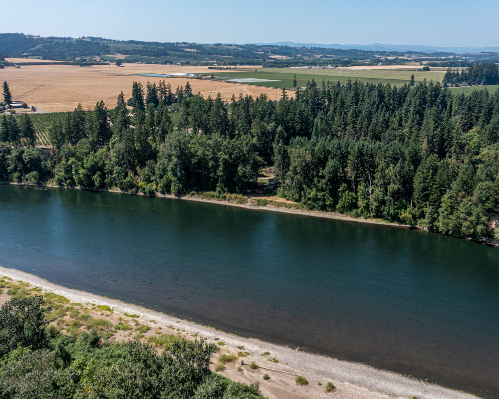
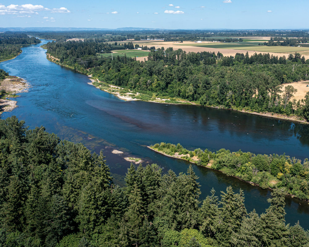
7. Rodgers Landing Park, July 2021
map
Picture
8. Confluence of the Yamhill River with the Willamette, July 2021
map
Picture
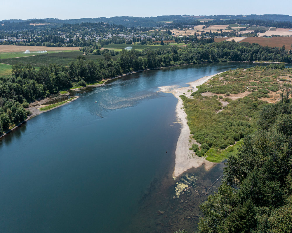
9. San Salvador Beach, July 2021
map
Picture
10. Grand Island, July 2021
map
Picture
11. Willamette Mission State Park, July 2021
map
Picture
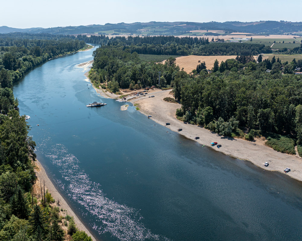
12. Wheatland Ferry/Eldridge Bar, July 2021
map
Picture
13. Spring Valley State Park, July 2021
map
Picture
14. Darrow Bar, July 2021
map
Picture
15. Keizer Rapids, July 2021
map
Columbia River to oregon city
Salem to Springfield
the coast fork
the middle fork and the north fork
Scenic ground-level photos, interactive aerial
panoramas, and videos of everyday rural Oregon

Site last updated 4/25/2022
  • Home
  • About
  • Landscapes
    • Columbia County Landscapes
    • Washington County Landscapes >
      • Washington County 360-degree panoramas
    • Yamhill County Landscapes >
      • Yamhill County 360-degree panoramas
    • Multnomah County Landscapes
    • Clackamas County Landscapes
    • Marion County Landscapes
    • Polk County Landscapes
    • Landscape videos
  • Willamette River
    • Willamette River Aerial Panoramas >
      • Columbia River to Oregon City
      • Oregon City to Salem
      • Salem to Springfield
      • The Coast Fork
      • The Middle Fork and the North Fork
    • Willamette River aerial photos >
      • Columbia to Burlingame Bridge
      • Burlingame Bridge to Ross Island Bridge
      • Ross Island to Elk Rock Island
      • Lake Oswego RR Bridge to Hog Island
      • Hog Island to Cedar Island
      • Meldrum Bay Park to Willamette Falls
      • Willamette Park to Wilsonville
      • Butteville Landing to San Salvador Beach
      • Grand Island to Willamette Mission Park
      • Spring Valley Greenway to Sunset Park
      • Buena Vista
    • Willamette River video
  • Cards (PW protected)
  • FAQ
  • Contact Us
  • Search