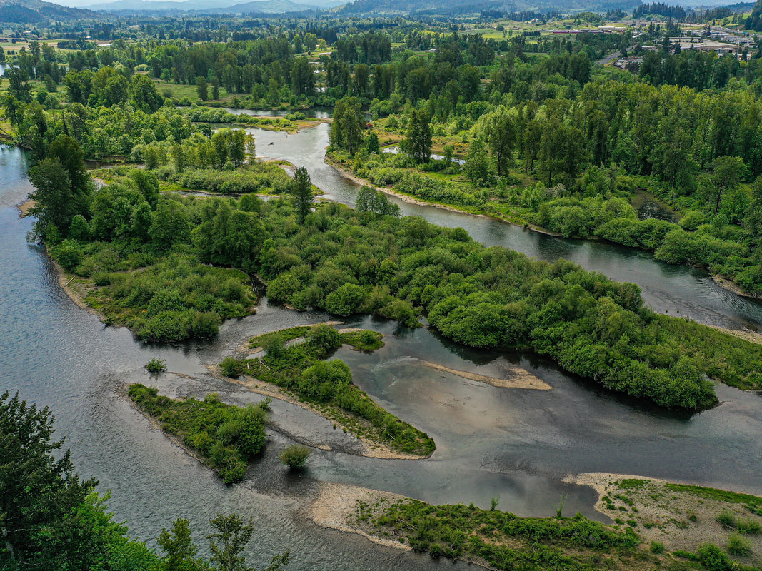
The Middle Fork and the
North Fork of the Middle Fork
North Fork of the Middle Fork
Clicking on an image below takes you to an interactive 360° panorama
that you can swipe left/right and up/down, or zoom in/out.
Click the buttons for maps where the panoramas were recorded.
1. Confluence of the Coast Fork and Middle Fork of the Willamette, May 2021
2. Clearwater Park, Springfield, June 2021
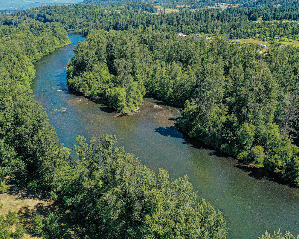
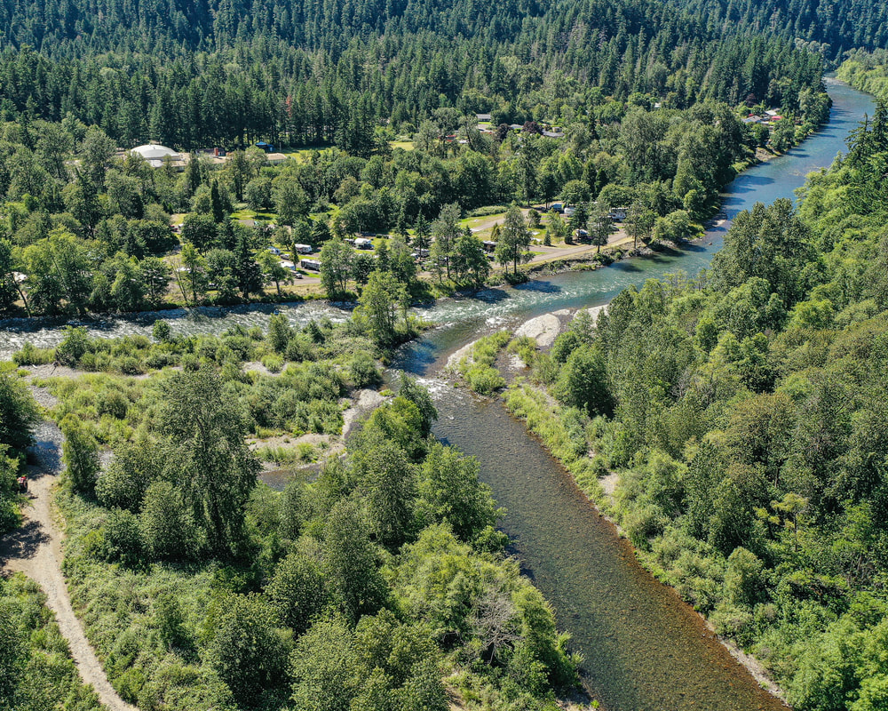
3. Jasper Park, June 2021
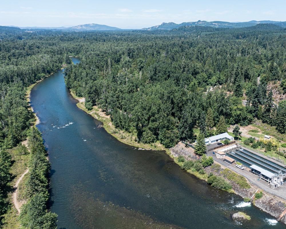
4. Pengra Boat Ramp, July 2021
5. Dexter Dam, July 2021

6. Dexter Reservoir, July 2021
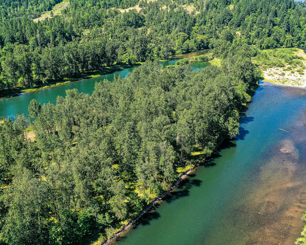
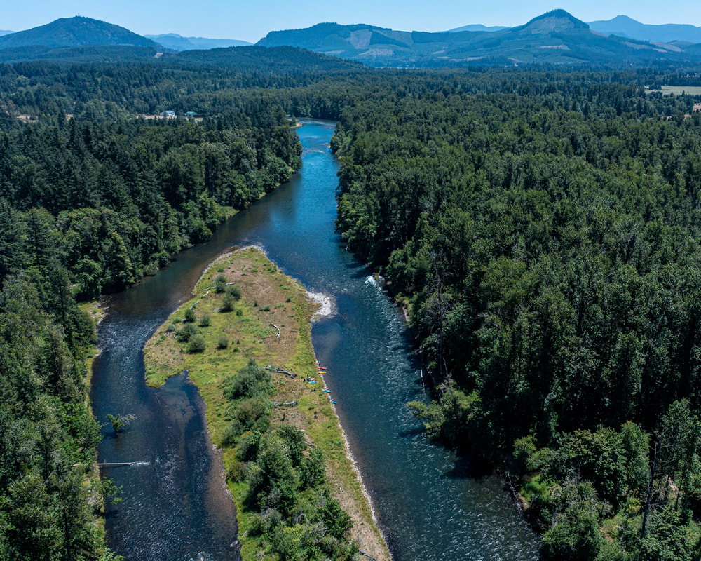
7. Confluence of the Middle Fork with the North Fork of the Middle Fork, June 2021
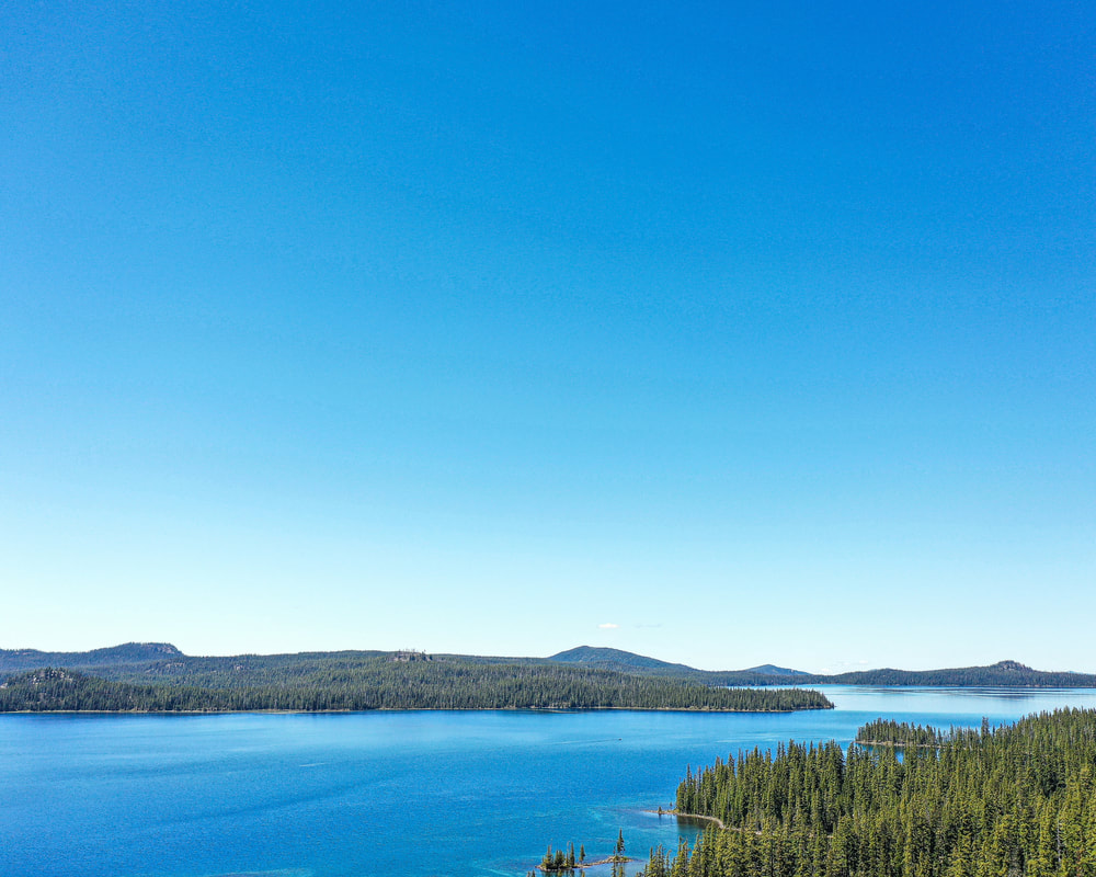
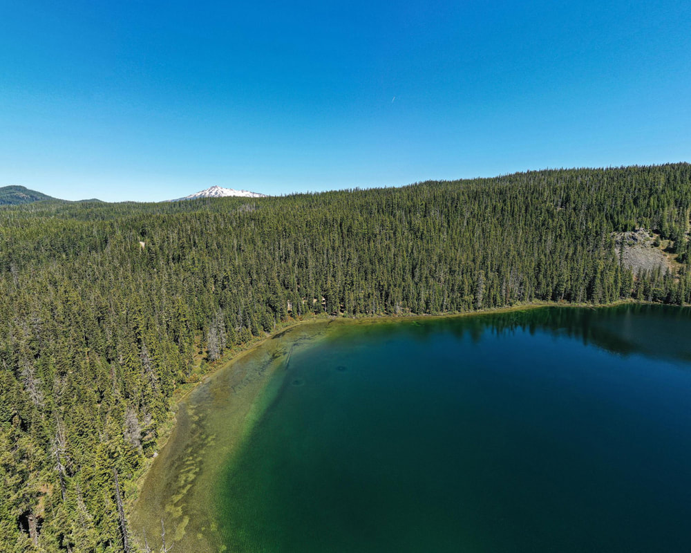
8. Waldo Lake, the headwaters of the North Fork of the Middle Fork of the Willamette River, June 2021
9. Timpanagos Lake, the headwaters of the Middle Fork of the Willamette River, June 2021