Columbia River to Oregon City
Clicking on an image below takes you to an interactive 360° panorama
that you can swipe left/right and up/down, or zoom in/out.
Click the buttons for maps where the panoramas were recorded.
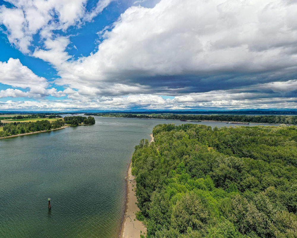
1. Confluence with the Columbia at Kelley Point Park, June 2021
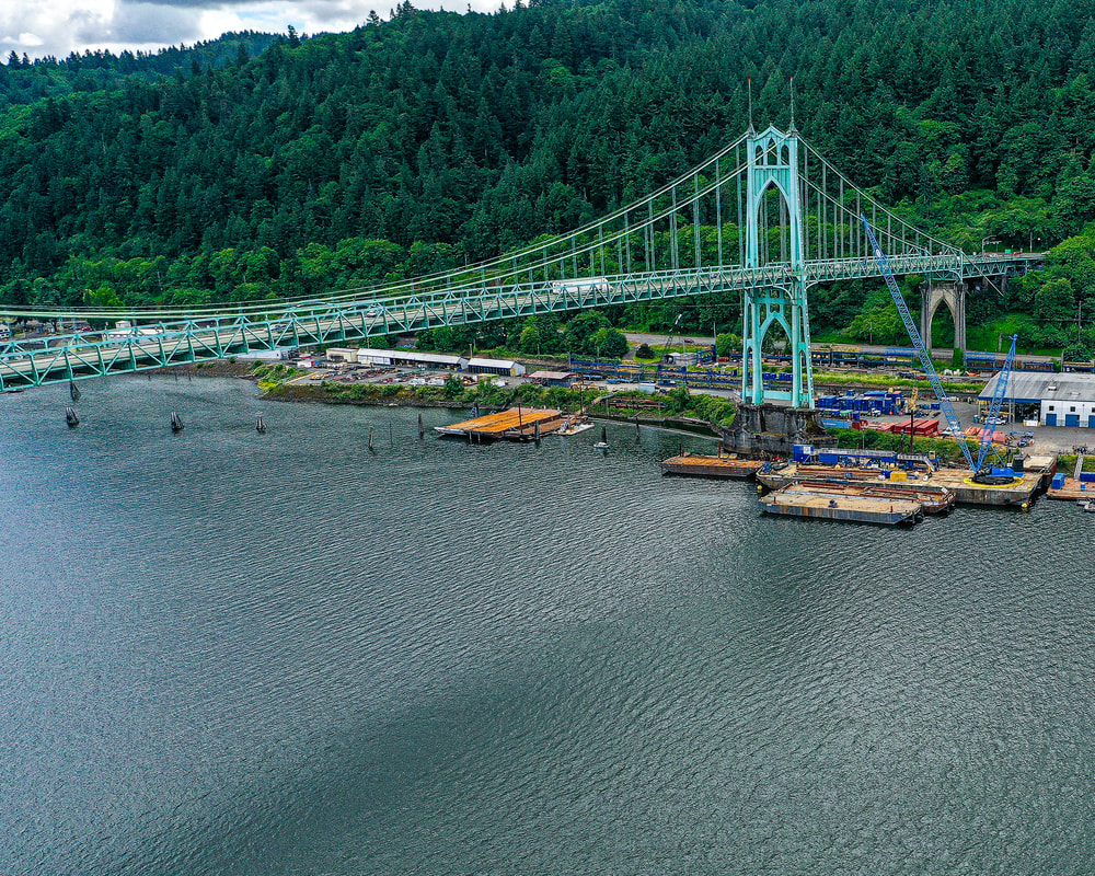
2. Cathedral Park, June 2021
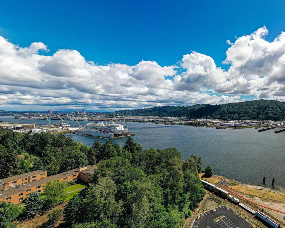
3. University of Portland, June 2021
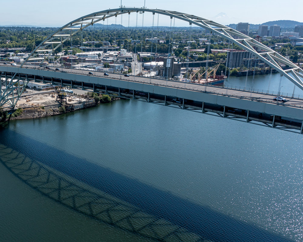
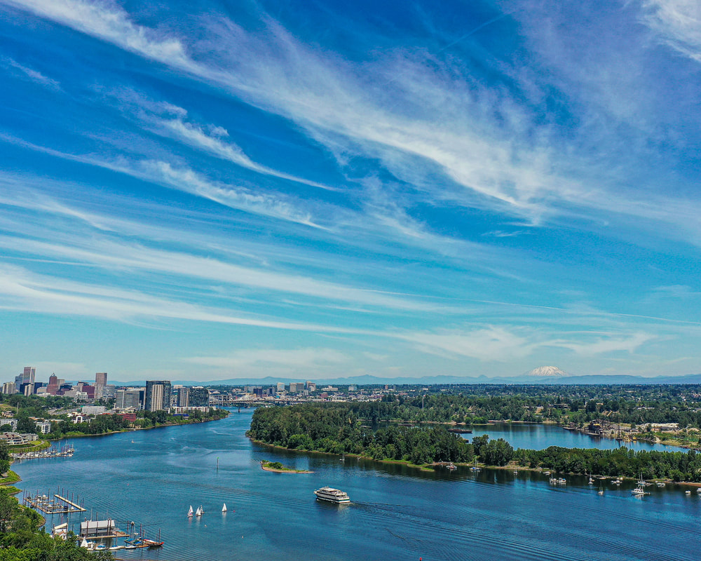
4. Fremont Bridge, July 2021
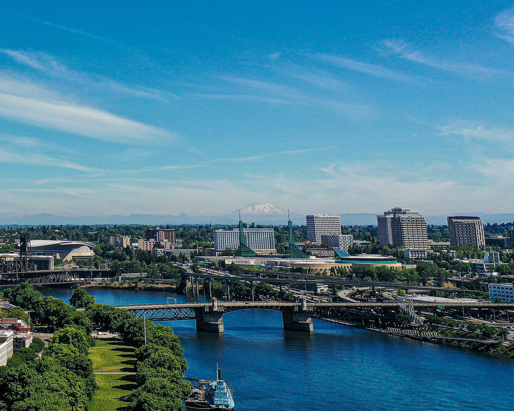
5. Between the Morrison and Hawthorne Bridges, June 2021
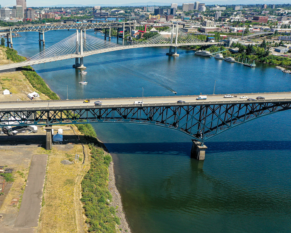
6. Ross Island Bridge, June 2021
7. The Landing Condominium, June 2021
8. Willamette Park/Stevens Point, June 2021

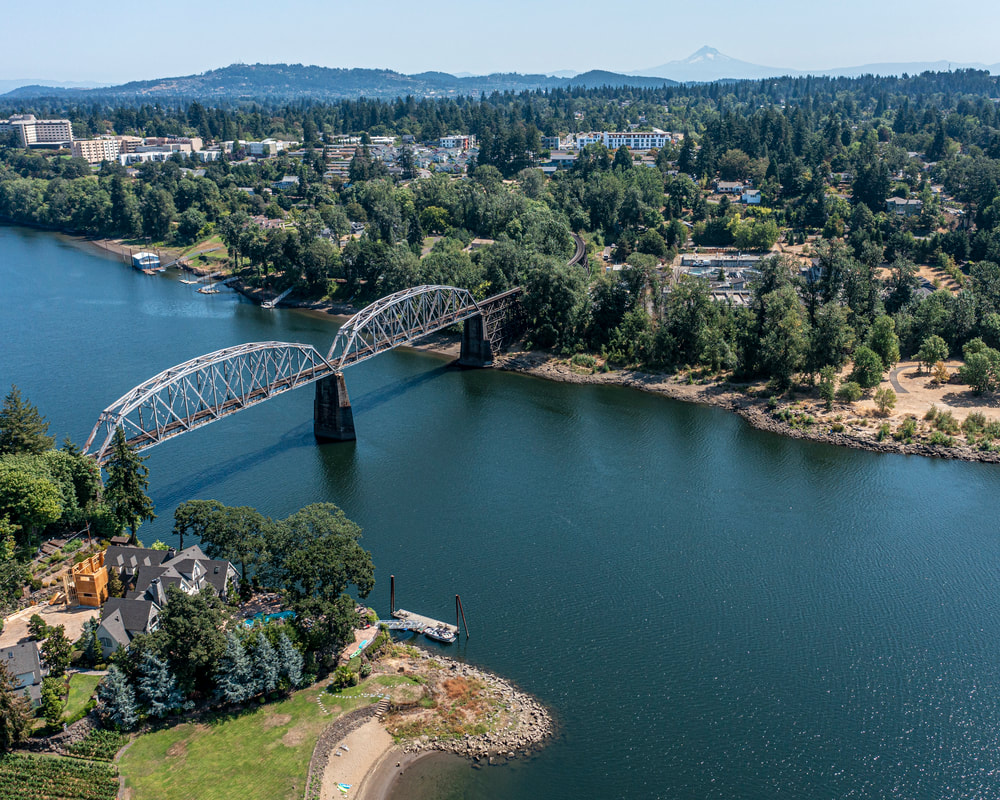
9. The Sellwood Bridge, July 2021
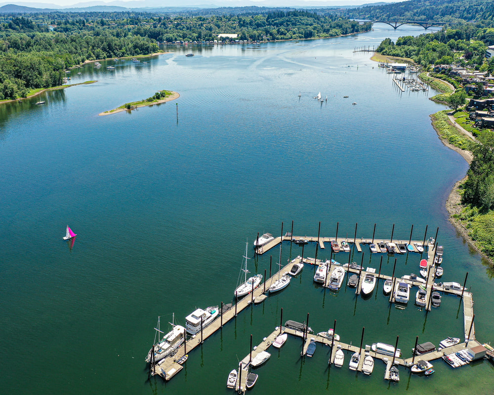
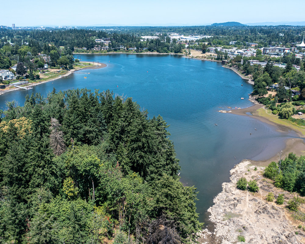
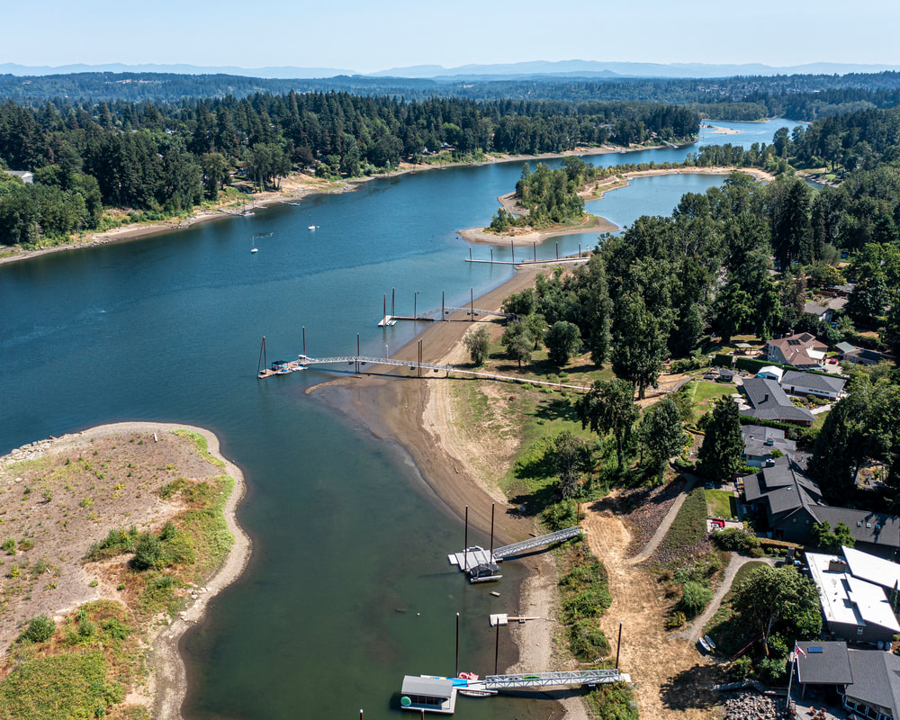
10. Milwaukie Bay, July 2021
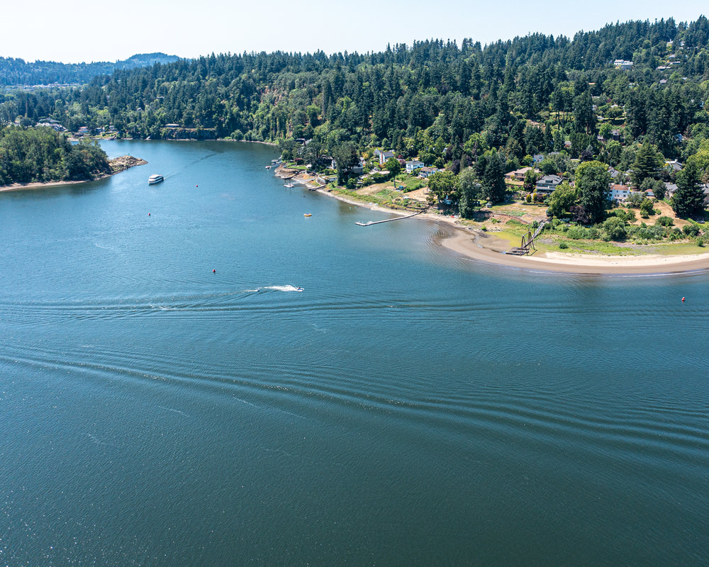
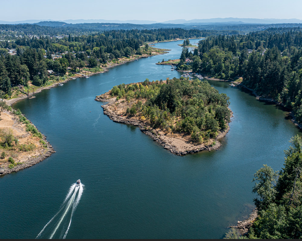
11. Elk Rock Island, July 2021
12. Tryon Cove, August 2019
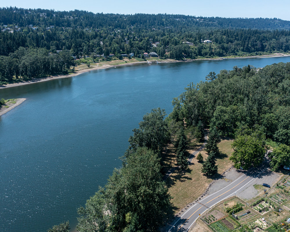
13. Foothills Park, August 2021
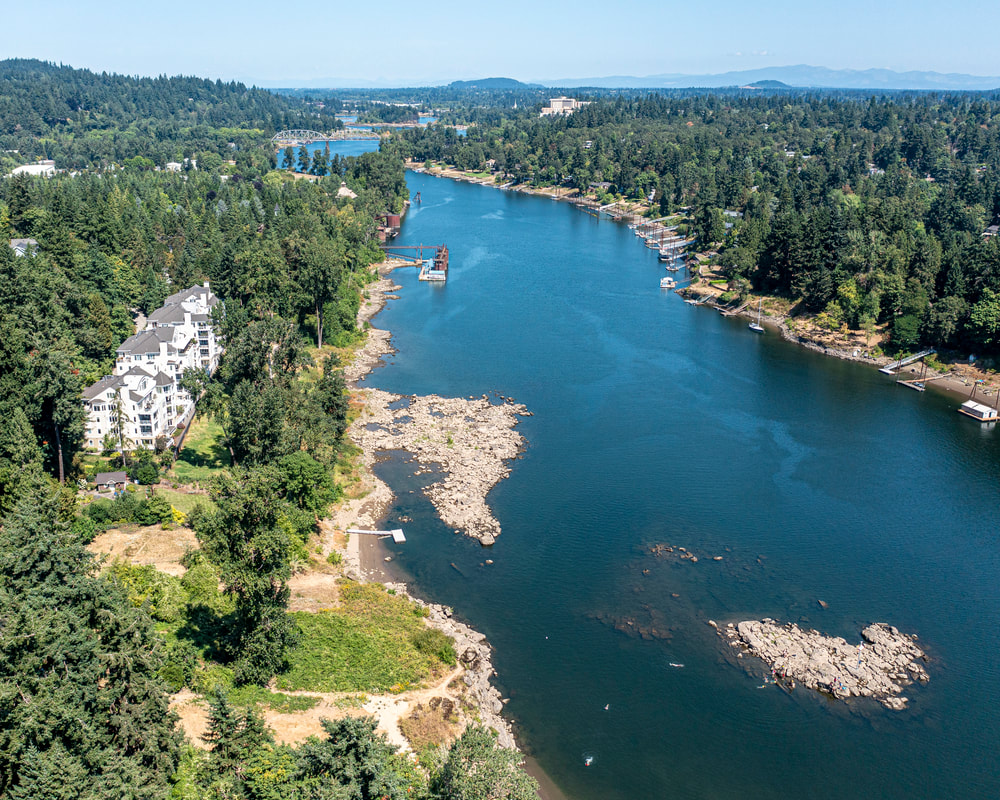
14. George Rogers Park, August 2021
15. Hog Island, August 2021
16. End of Calaroga Court, August 2021
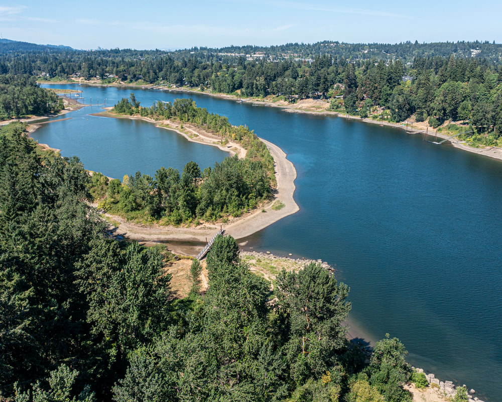
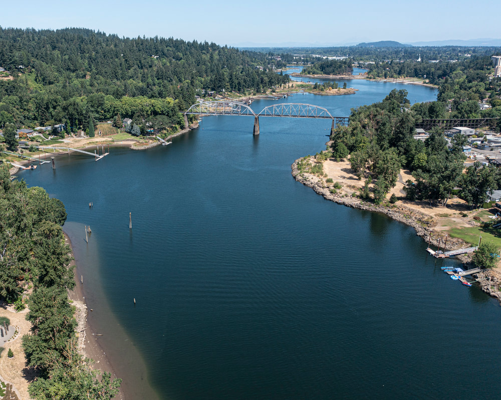
17. Cedar Island, August 2021
18. Meldrum Bar Park, July 2021
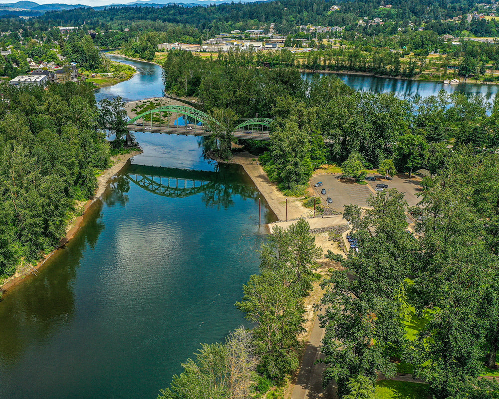
19. Clackamette Park: The confluence of the Clackamas and Willamette Rivers, June 2021
20. I-205 bridge, August 2021
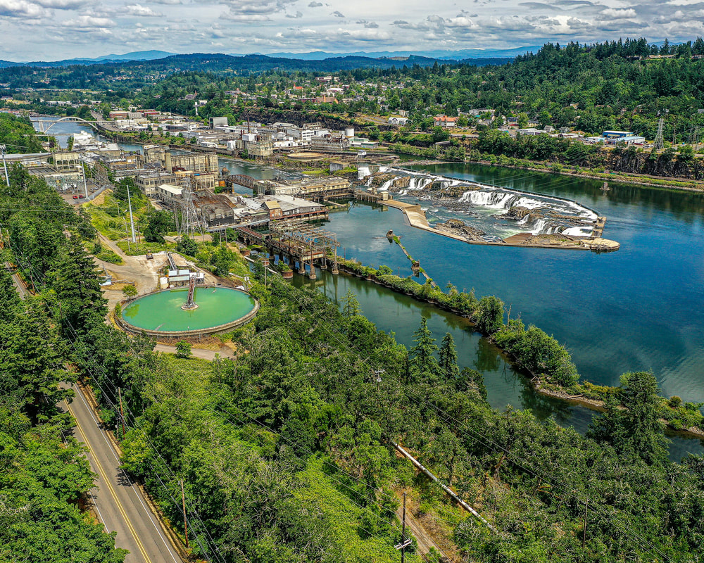
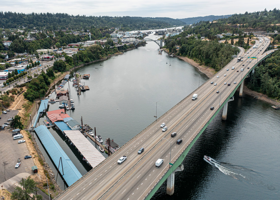
21. Willamette Falls, Oregon City, June 2021