Scenic images (aerial and ground, panoramas, & videos) of everyday rural Oregon
  • Home
  • About
  • Barns
  • Landscapes
  • Willamette River
  • Cards for Sale
  • FAQ
  • Contact Us
Picture

​ 
​Slightly north of Meldrum Bay
Park to Willamette Falls
​

​Click images for maps showing where the photos were taken.

Aerial view of the Willamette River
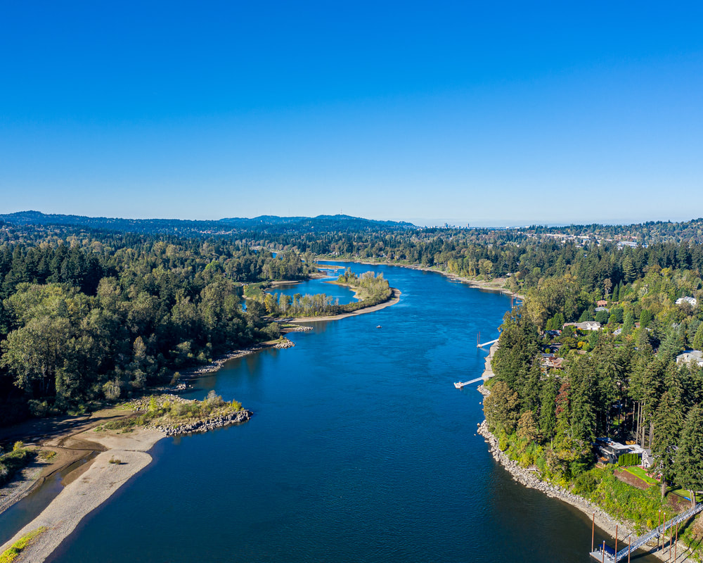
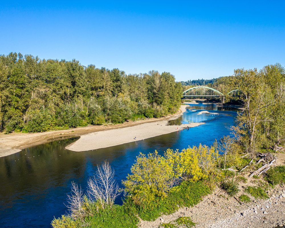
1. Looking north toward Cedar Island from Meldrum Bay Park
Aerial view of the Willamette River
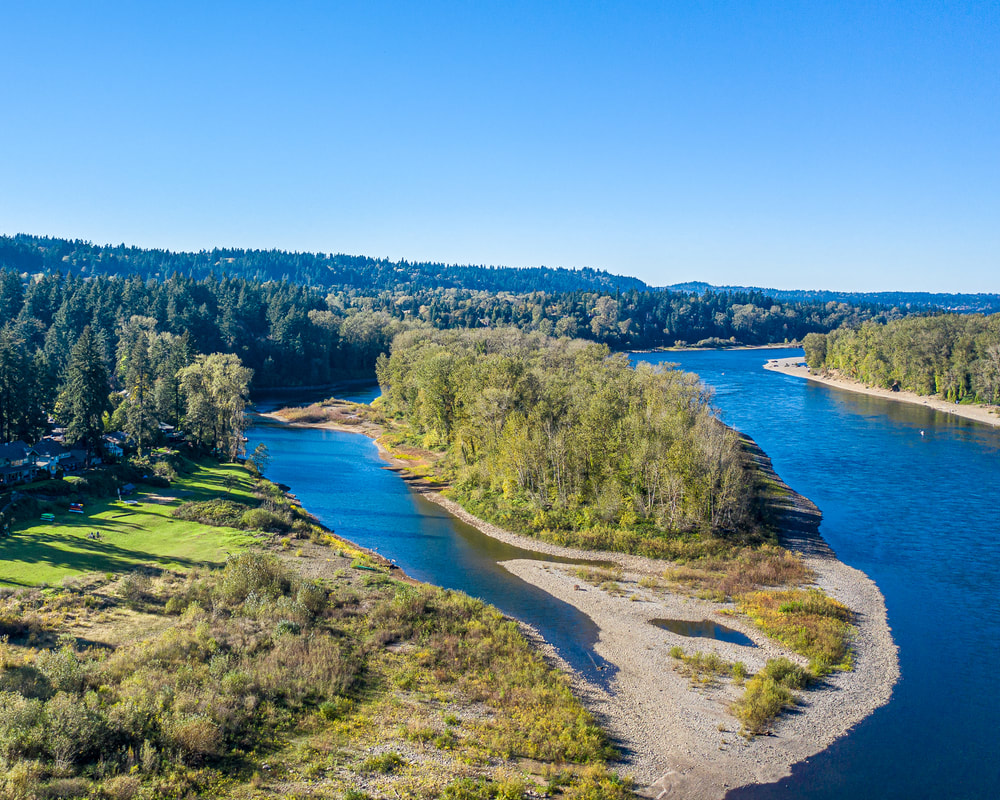
2. Looking upstream at Goat Island from just north of Meldrum Bar Park
Aerial view of the Willamette River
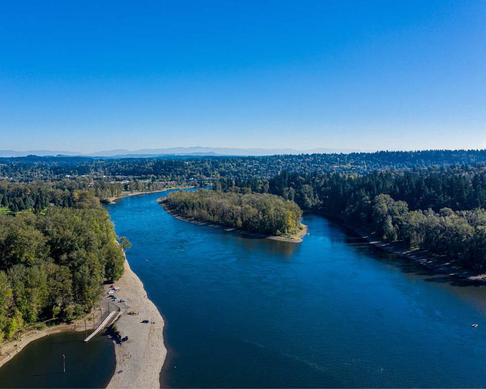
3. Looking downstream from Meldrum Bay Park
Aerial view of the Willamette River
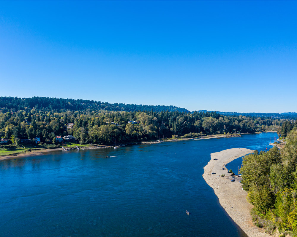
4. The view to the south from just south of Meldrum Bay Park, with Goat Island on the right, the mouth of the Clackamas river on the left, and the I-205 bridge in the distance
Aerial view of the Willamette River
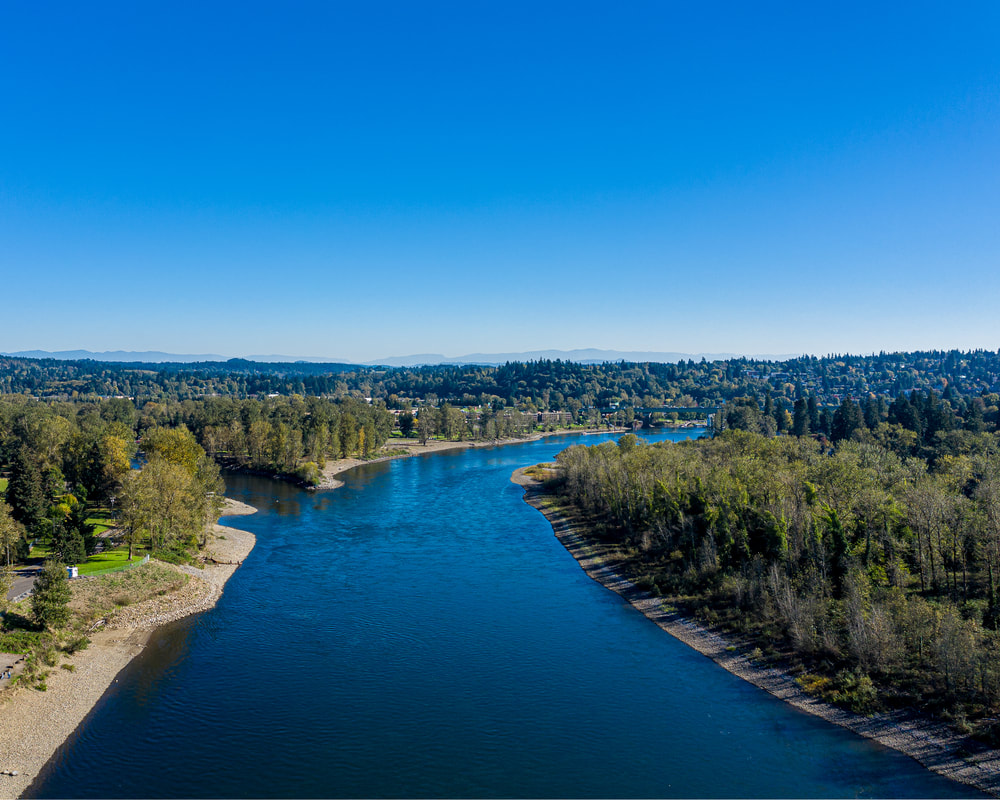
5. Another view downstream from Meldrum Bay Park
Aerial view of the Willamette River
6. Looking up the Clackamas River from its mouth at the Willamette
Aerial view of the Willamette River
7. Goat Island, downstream of Clackamette Park
Aerial view of the Willamette River
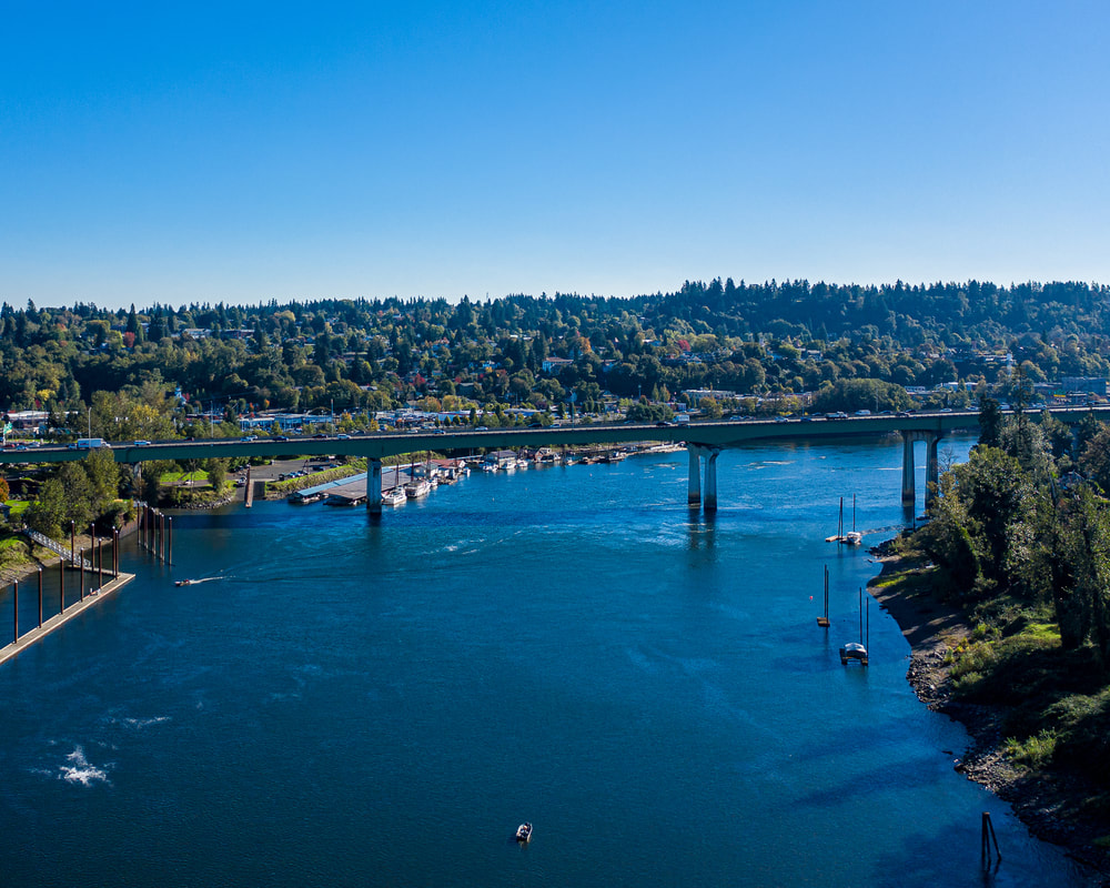
8. Looking upstream at the I-205 bridge
Willamette Falls
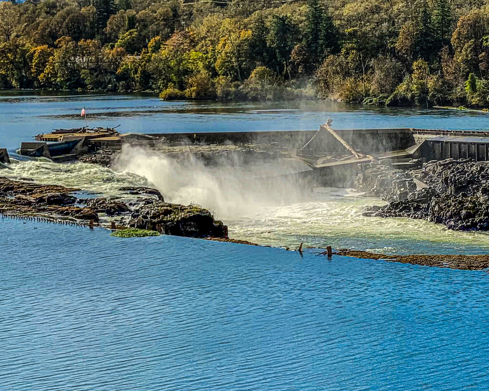
9. Willamette Falls, from the Oregon City roadside viewpoint on the east shore
Aerial view of Willamette Falls
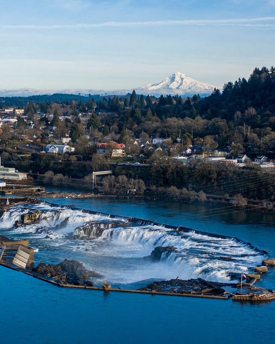
10. Willamette Falls from the I-205 viewpoint, with Mt. Hood
Previous
Next
Scenic ground-level photos, interactive aerial
panoramas, and videos of everyday rural Oregon

Site last modified 2/7/23
  • Home
  • About
  • Barns
  • Landscapes
  • Willamette River
  • Cards for Sale
  • FAQ
  • Contact Us