Scenic images (aerial and ground, panoramas, & videos) of everyday rural Oregon
  • Home
  • About
  • Landscapes
  • Barns
  • Willamette River
  • Cards for Sale
  • FAQ
  • Contact Us
Picture

​

Hog Island to Cedar Island
​

​Click images for maps showing where the photos were taken.

The Willamette River
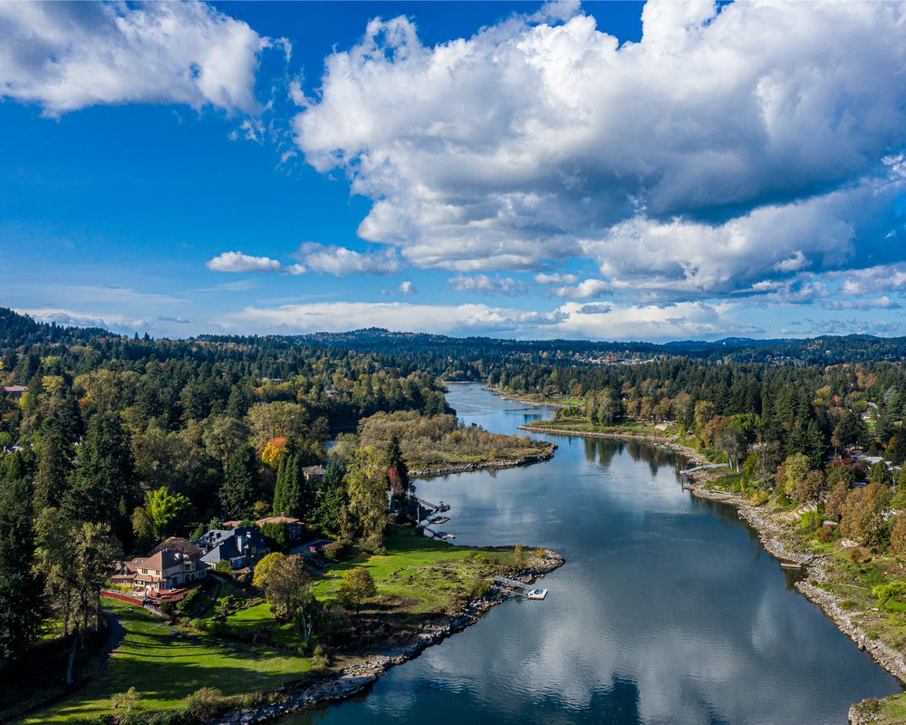
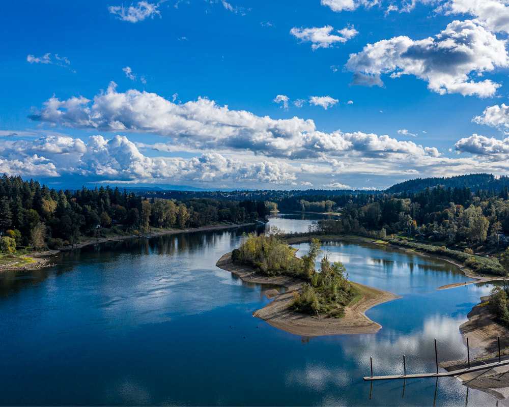
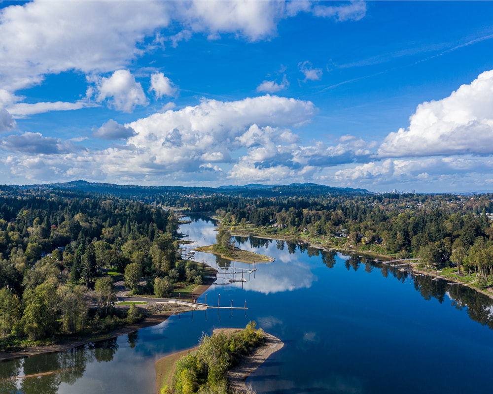
1. Looking downstream about midway between Hog Island and Cedar Island
The Willamette River
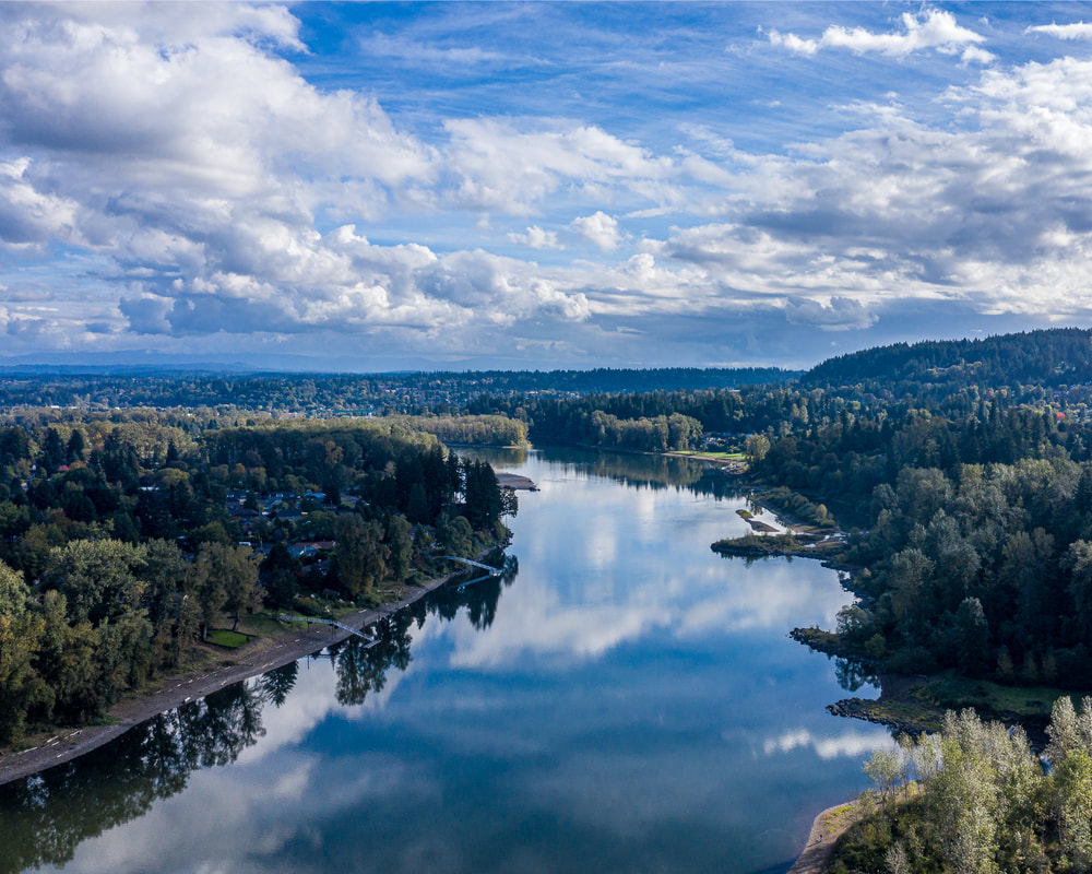
2. Looking downstream off of Calaroga Ct.
The Willamette River
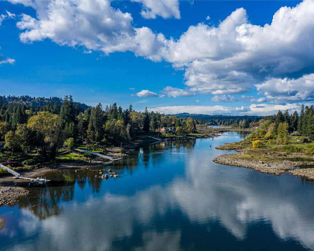
3. The view upstream from off of Calaroga Ct.
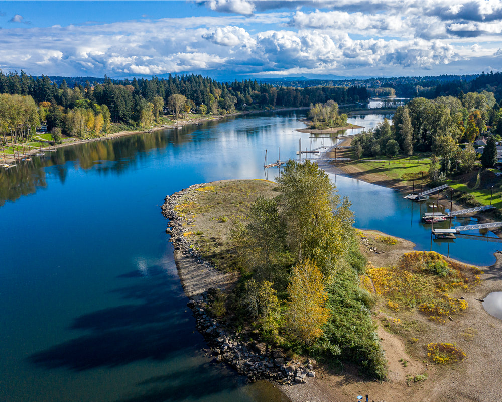
The Willamette River
4. The view of Cedar island from the north
The Willamette River
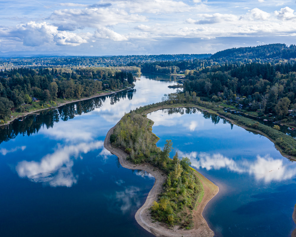
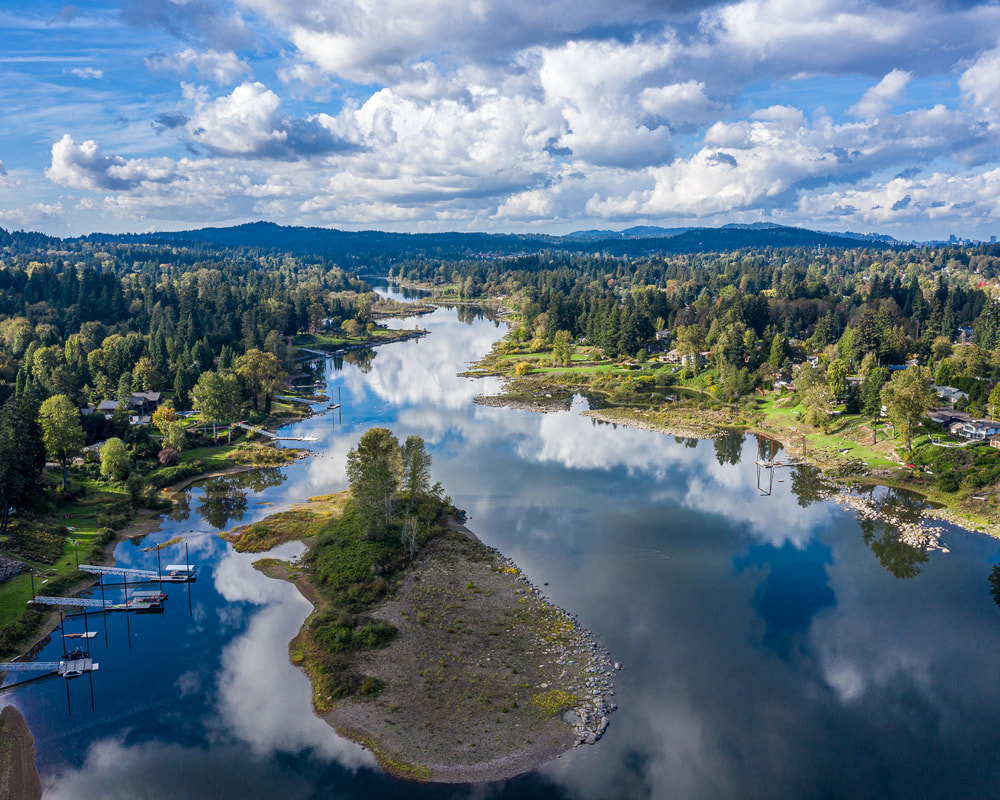
5. Cedar Island, looking upstream
'> Aerial view of the Willamette River
6. Looking downstream from Cedar Island
Aerial view of the Willamette River
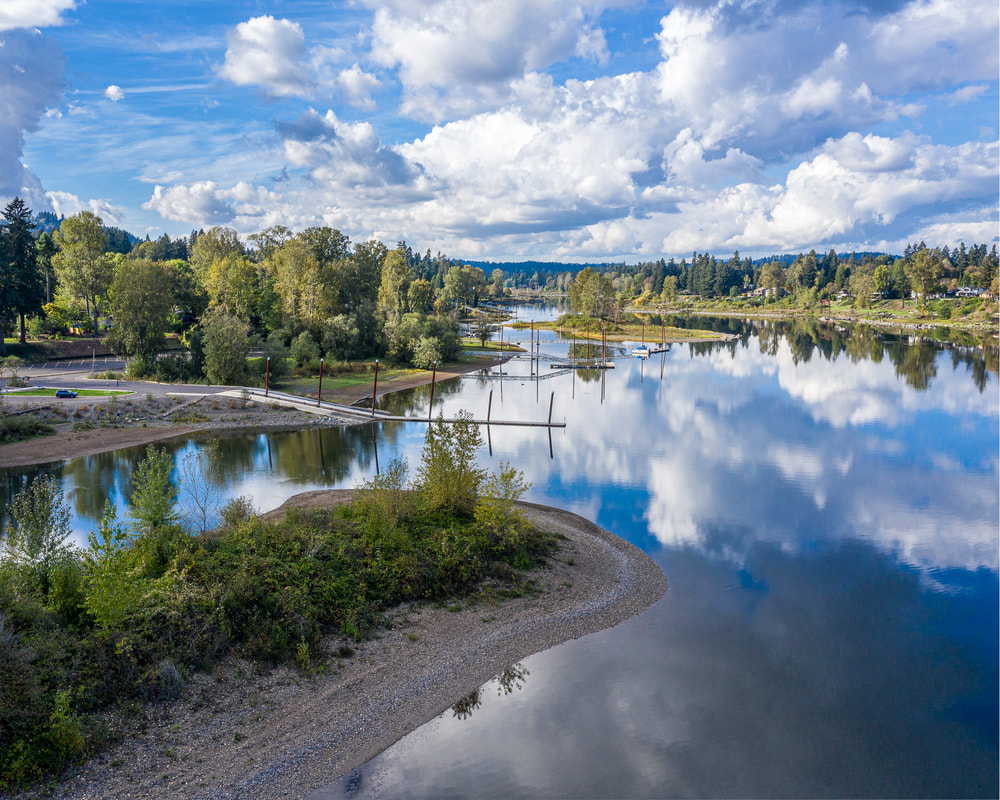
7. The view downstream from Cedar Island
Aerial view of the Willamette River
8. Downstream view from Cedar Island at a higher altitude
Aerial view of the Willamette River
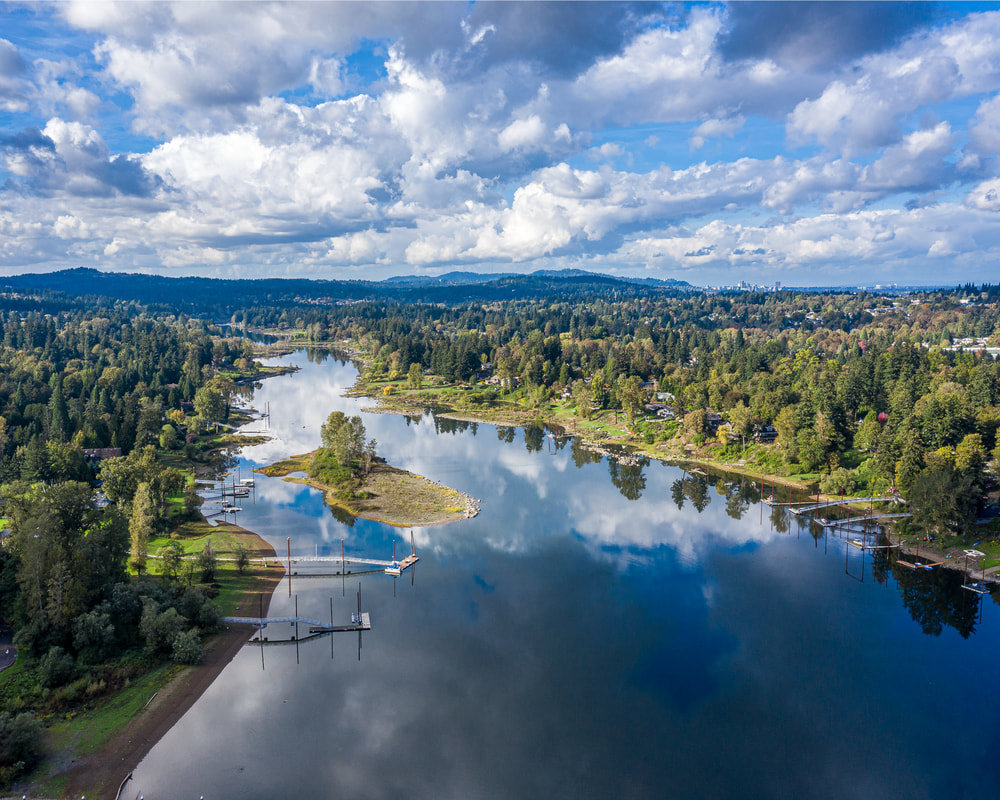
9. Upstream view from Cedar Island at a higher altitude
Aerial view of the Willamette River
10. The view downstream from a few yards north of Cedar Island
Previous page
Next page
Scenic images of everyday rural Oregon

Site last modified 5/29/23
  • Home
  • About
  • Landscapes
  • Barns
  • Willamette River
  • Cards for Sale
  • FAQ
  • Contact Us