Home
About
Landscapes
Columbia County Landscapes
Washington County Landscapes
>
Washington County 360-degree panoramas
Yamhill County Landscapes
>
Yamhill County 360-degree panoramas
Multnomah County Landscapes
Clackamas County Landscapes
Marion County Landscapes
Polk County Landscapes
Landscape videos
Willamette River
Willamette River Aerial Panoramas
>
Columbia River to Oregon City
Oregon City to Salem
Salem to Springfield
The Coast Fork
The Middle Fork and the North Fork
Willamette River aerial photos
>
Columbia to Burlingame Bridge
Burlingame Bridge to Ross Island Bridge
Ross Island to Elk Rock Island
Lake Oswego RR Bridge to Hog Island
Hog Island to Cedar Island
Meldrum Bay Park to Willamette Falls
Willamette Park to Wilsonville
Butteville Landing to San Salvador Beach
Grand Island to Willamette Mission Park
Spring Valley Greenway to Sunset Park
Buena Vista
Willamette River video
Cards (PW protected)
FAQ
Contact Us
Search
From the confluence of the Willamette
and Columbia upstream to the
Burlington Northern Railroad Bridge
Click on images for maps of the locations of the camera.
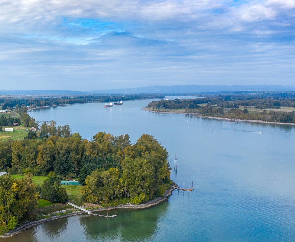
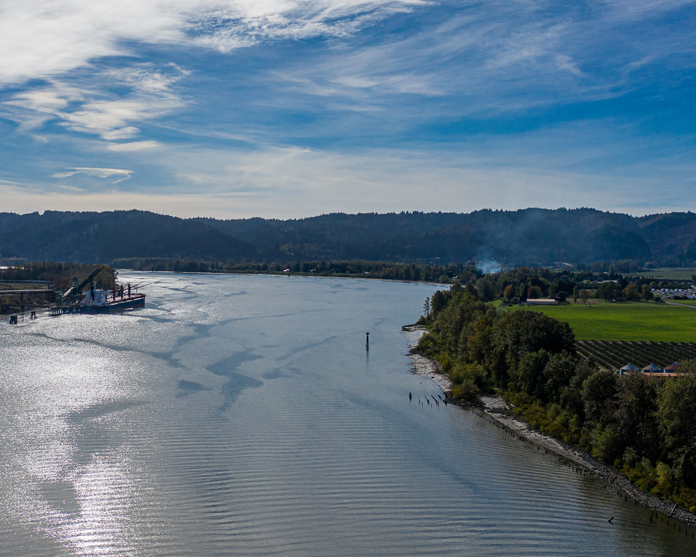
1. Looking downstream the Columbia River from the mouth of the Willamette
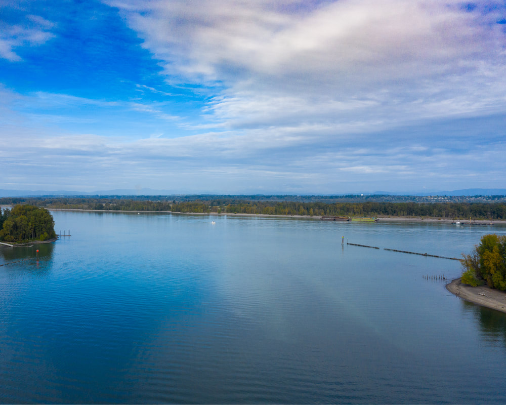
2. Facing the Columbia at the mouth of the Willamette
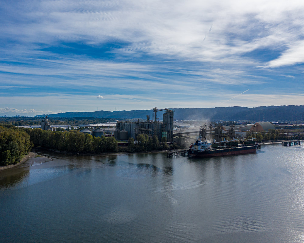
3. Looking upstream at the southeast side of the Willamette near its confluence with the Columbia
4. Looking upstream the Willamette a little ways from its confluence with the Columbia
5. Downstream view near the St. John's Bridge
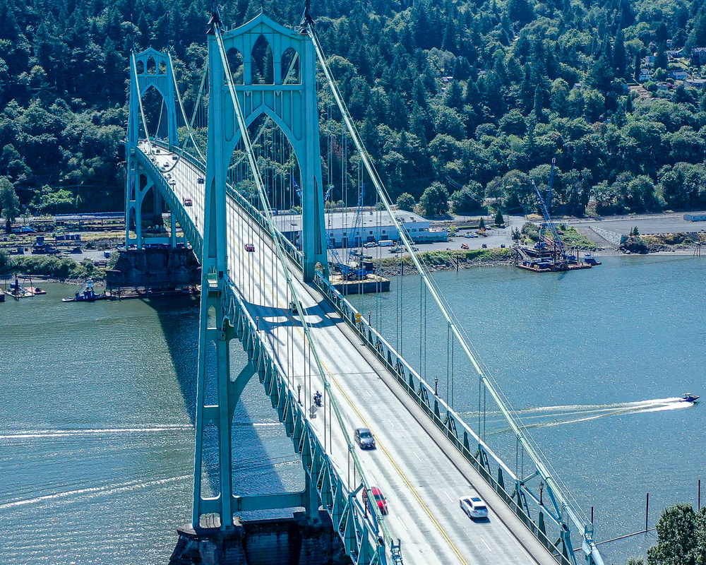
6. St. John's Bridge
7. The St. John's Bridge and past it upstream
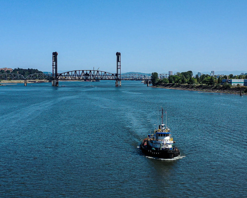
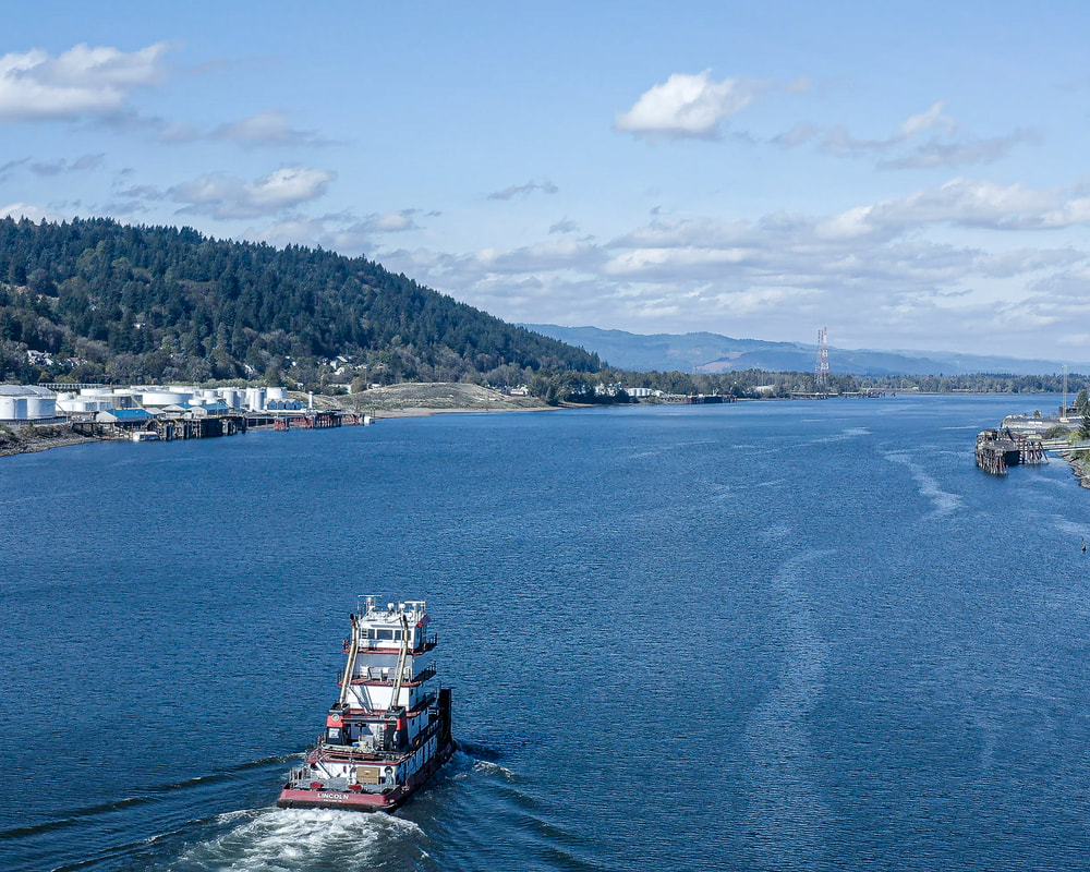
8. Tugboat going downstream with the Burlington Northern Railroad Bridge in the background
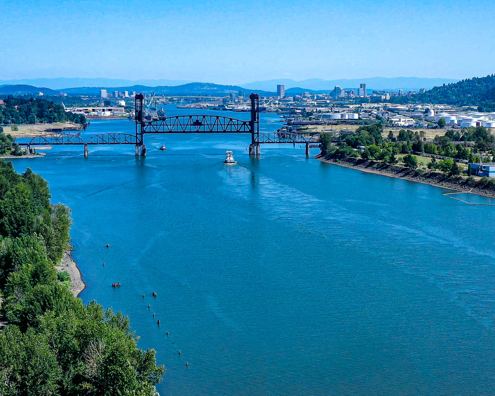
9. Looking upstream at the the Burlington Northern Railroad Bridge
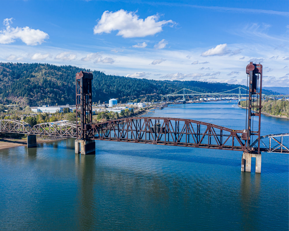
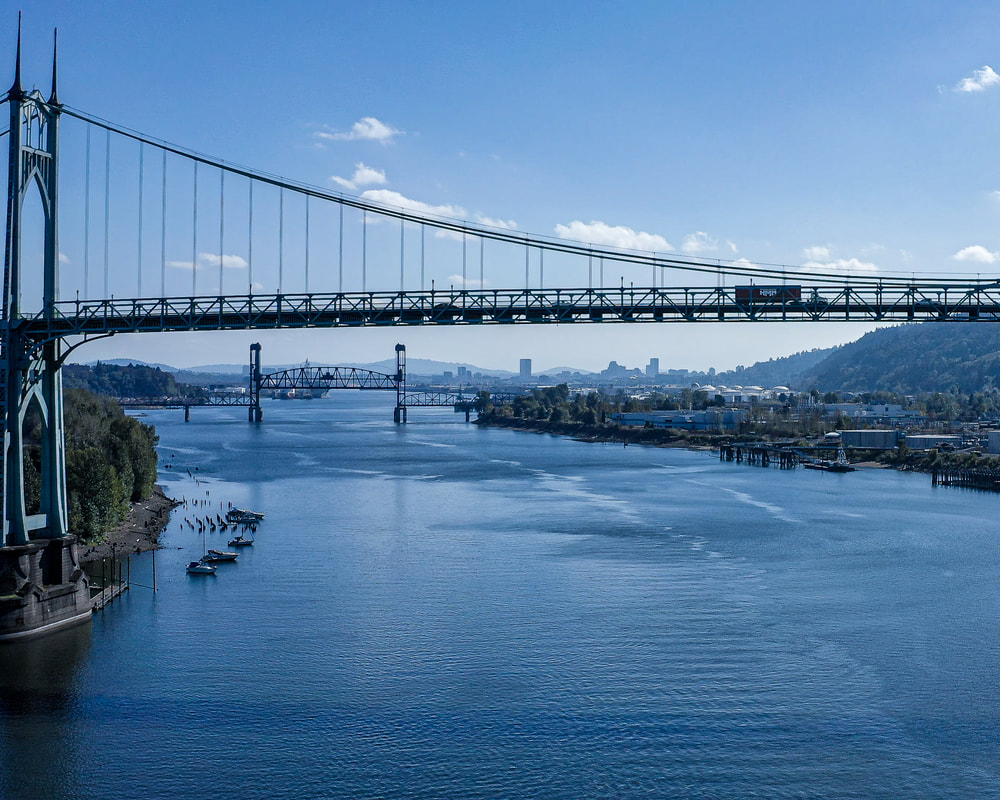
10. Looking downstream at the Burlington Northern Railroad Bridge and beyond to the St. John's Bridge
Next
Home
About
Landscapes
Columbia County Landscapes
Washington County Landscapes
>
Washington County 360-degree panoramas
Yamhill County Landscapes
>
Yamhill County 360-degree panoramas
Multnomah County Landscapes
Clackamas County Landscapes
Marion County Landscapes
Polk County Landscapes
Landscape videos
Willamette River
Willamette River Aerial Panoramas
>
Columbia River to Oregon City
Oregon City to Salem
Salem to Springfield
The Coast Fork
The Middle Fork and the North Fork
Willamette River aerial photos
>
Columbia to Burlingame Bridge
Burlingame Bridge to Ross Island Bridge
Ross Island to Elk Rock Island
Lake Oswego RR Bridge to Hog Island
Hog Island to Cedar Island
Meldrum Bay Park to Willamette Falls
Willamette Park to Wilsonville
Butteville Landing to San Salvador Beach
Grand Island to Willamette Mission Park
Spring Valley Greenway to Sunset Park
Buena Vista
Willamette River video
Cards (PW protected)
FAQ
Contact Us
Search