Scenic images (aerial and ground, panoramas, & videos) of everyday rural Oregon
  • Home
  • About
  • Barns
  • Landscapes
  • Willamette River
  • Cards for Sale
  • FAQ
  • Contact Us
Picture

Click on images to open interactive 360° aerial panoramas.
Click on map buttons to see where the panoramas were photographed.
​
Link to Yamhill County, Oregon aerial 360° photo
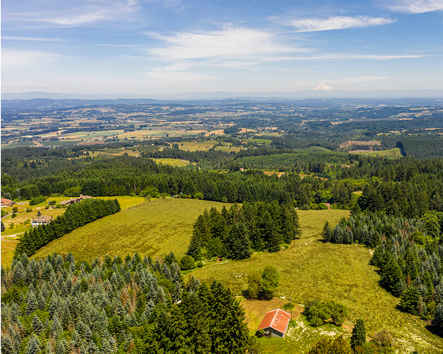
1. Bald Peak State Park, Laurelwood, June 2020
Map
Link to Yamhill County, Oregon aerial 360° photo
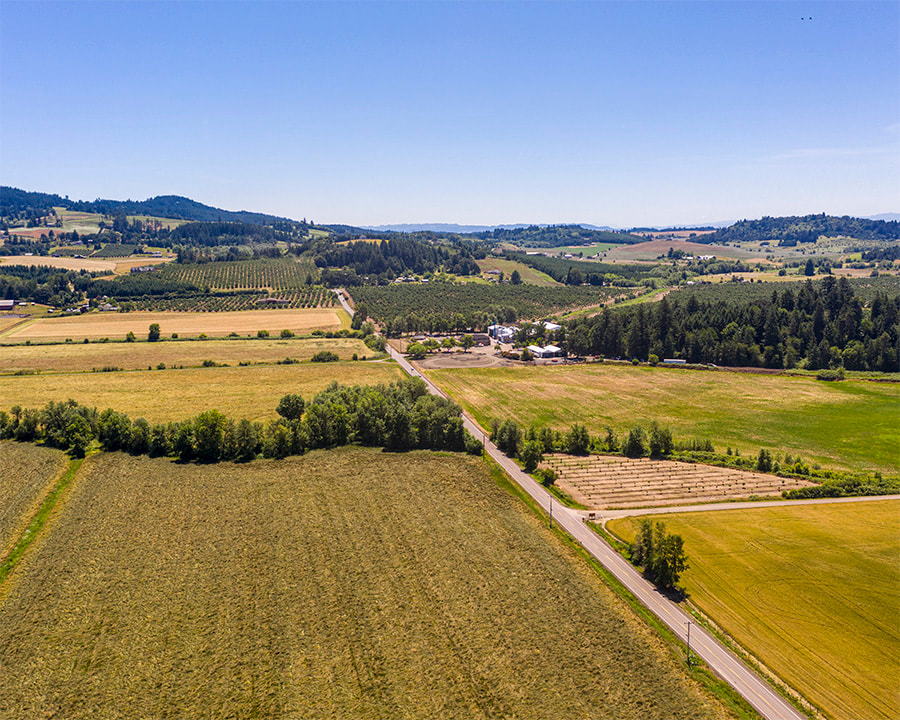
2. N. Valley Rd., Newberg, June 2020
Map
Picture
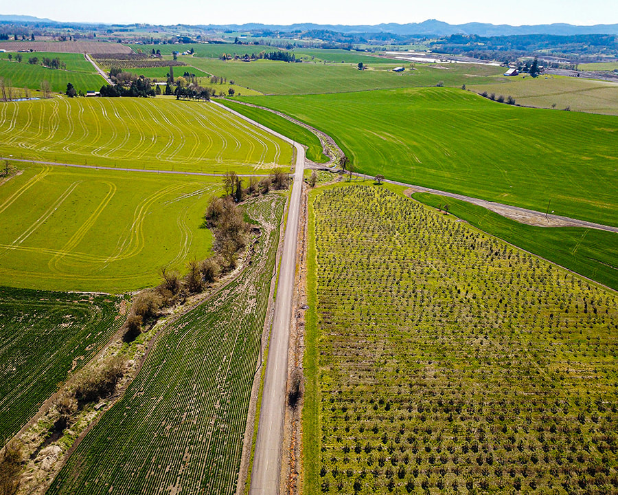
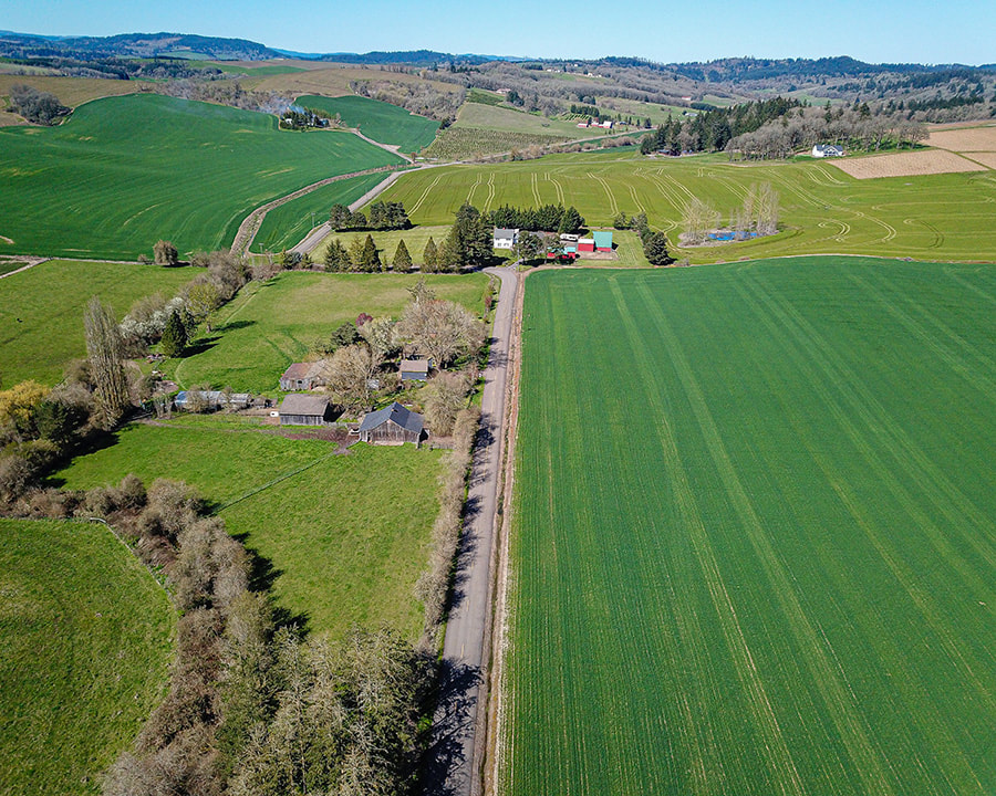
3. Bishop Scott Rd., Yamhill, April 2021
map
Picture
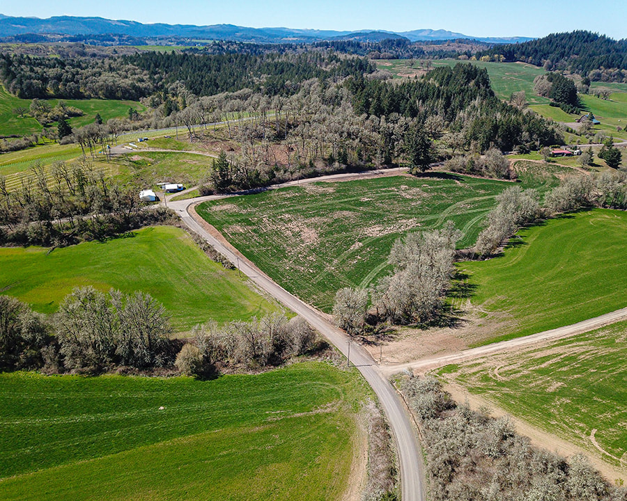
4. Bishop Scott Rd., Yamhill, April 2021
Map
Picture
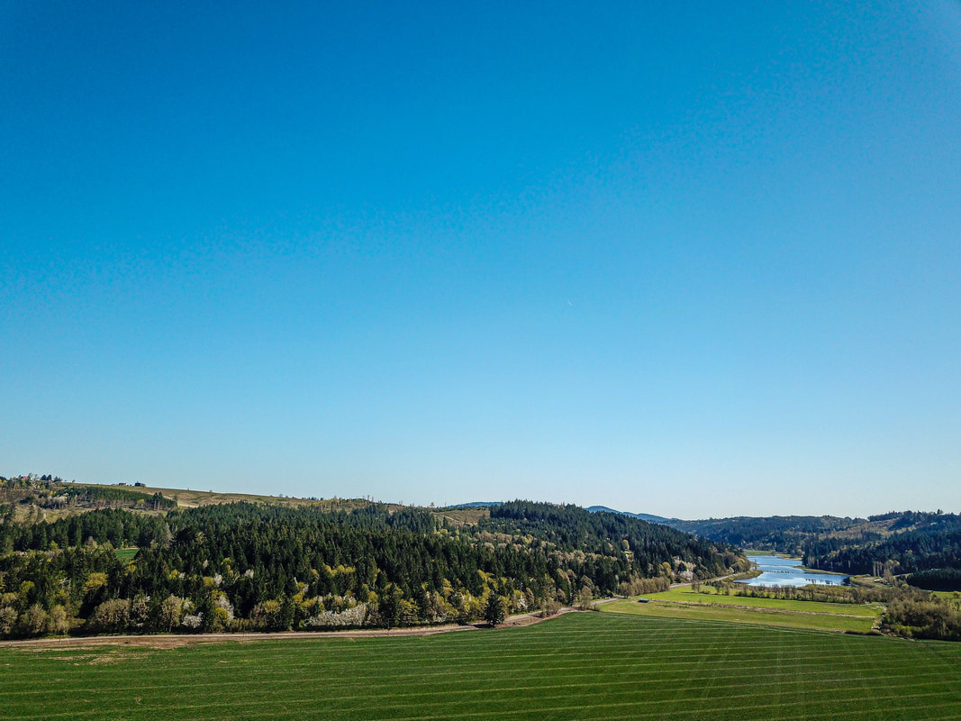
5. Lincoln Ave., Cove Orchard. April 2021
map
Picture
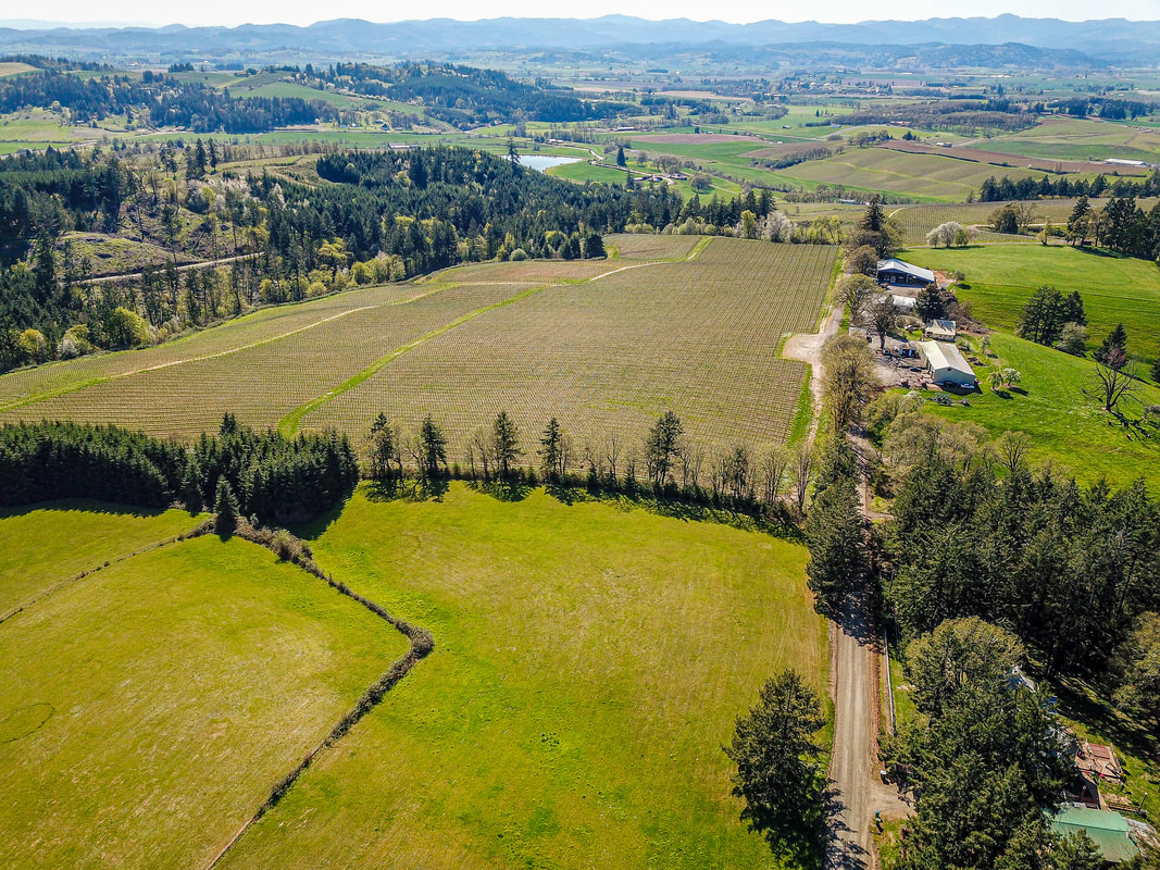
6. Laughlin Rd., Cove Orchard, April 2021
map
Picture
7. Fuerst Rd, Yamhill, April 2021
map
Picture
8. NW Garrish Valley Rd., Yamhill, April 2021
map
Picture
9. Mt. Richmond Rd., Yamhill, April 2021
map
Picture
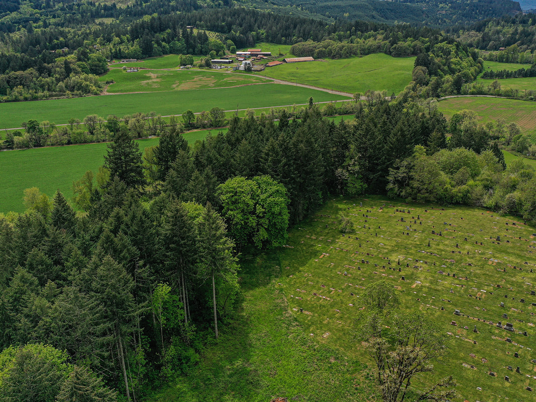
10. Pike Cemetery, Yamhill, April 2021
map
Scenic ground-level photos, interactive aerial
panoramas, and videos of everyday rural Oregon

Site last modified 2/7/23
  • Home
  • About
  • Barns
  • Landscapes
  • Willamette River
  • Cards for Sale
  • FAQ
  • Contact Us