Scenic images (aerial and ground, panoramas, & videos) of everyday rural Oregon
  • Home
  • About
  • Landscapes
    • Columbia County Landscapes
    • Washington County Landscapes >
      • Washington County 360-degree panoramas
    • Yamhill County Landscapes >
      • Yamhill County 360-degree panoramas
    • Multnomah County Landscapes
    • Clackamas County Landscapes
    • Marion County Landscapes
    • Polk County Landscapes
    • Landscape videos
  • Willamette River
    • Willamette River Aerial Panoramas >
      • Columbia River to Oregon City
      • Oregon City to Salem
      • Salem to Springfield
      • The Coast Fork
      • The Middle Fork and the North Fork
    • Willamette River aerial photos >
      • Columbia to Burlingame Bridge
      • Burlingame Bridge to Ross Island Bridge
      • Ross Island to Elk Rock Island
      • Lake Oswego RR Bridge to Hog Island
      • Hog Island to Cedar Island
      • Meldrum Bay Park to Willamette Falls
      • Willamette Park to Wilsonville
      • Butteville Landing to San Salvador Beach
      • Grand Island to Willamette Mission Park
      • Spring Valley Greenway to Sunset Park
      • Buena Vista
    • Willamette River video
  • Cards (PW protected)
  • FAQ
  • Contact Us
  • Search
Picture

​

Butteville Landing, Willamette
Greenway State Park,
Champoeg State Park,
​and San Salvador Beach

​
Click on images for maps of the locations of the camera.

Aerial view of the Willamette River
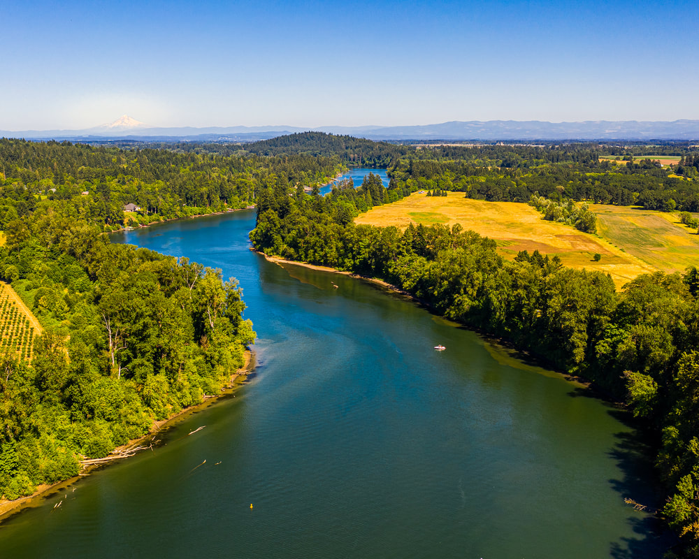
1. Looking downstream from Butteville Landing
Aerial view of the Willamette River
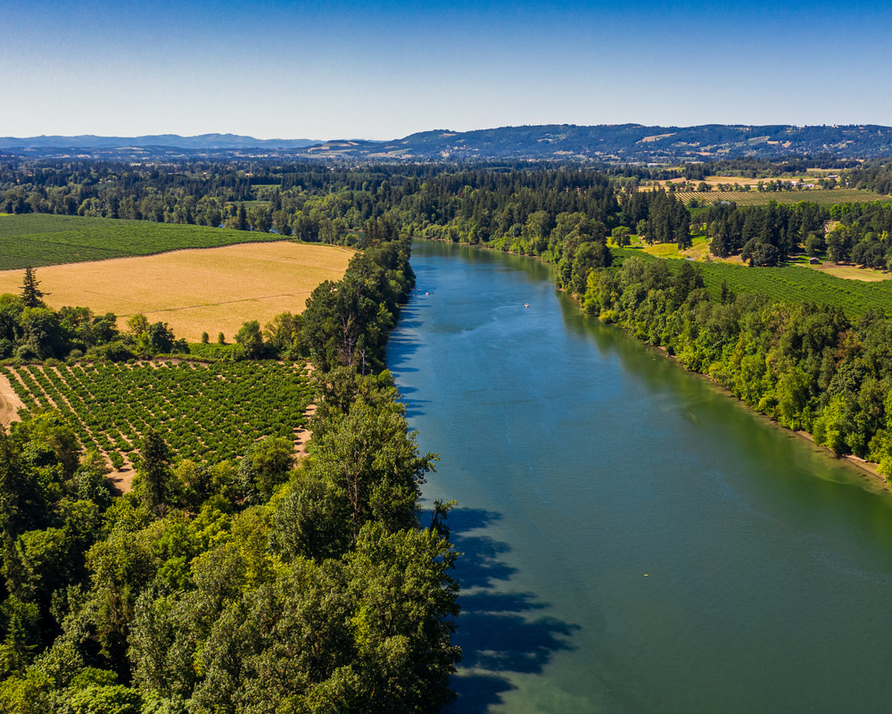
2. Looking upstream from Butteville Landing
Aerial view of the Willamette River
3. The view downstream from Willamette Greenway State Park
The Willamette River viewed from a drone
4. Looking upstream from Willamette Greenway State Park
The Willamette River viewed from a drone
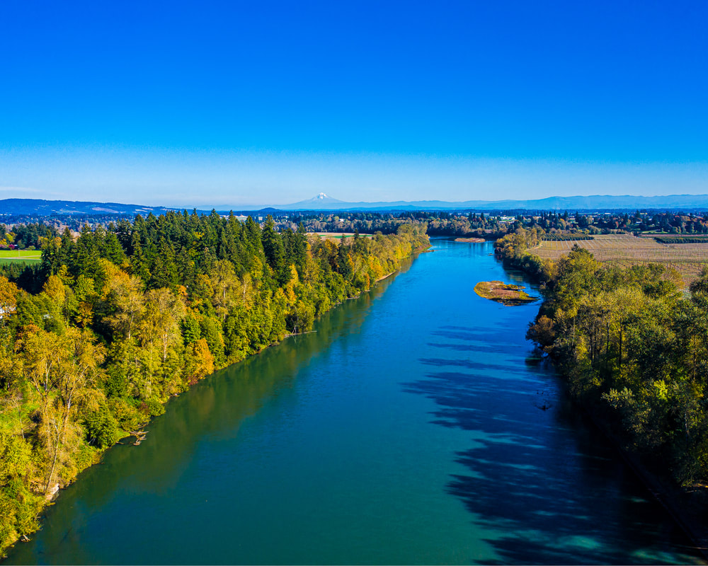
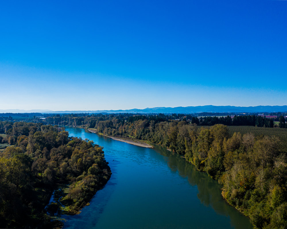
5. The view downstream from Champoeg State Park
The Willamette River viewed from a drone
6. The view upstream from Champoeg State Park
The Willamette River viewed from a drone
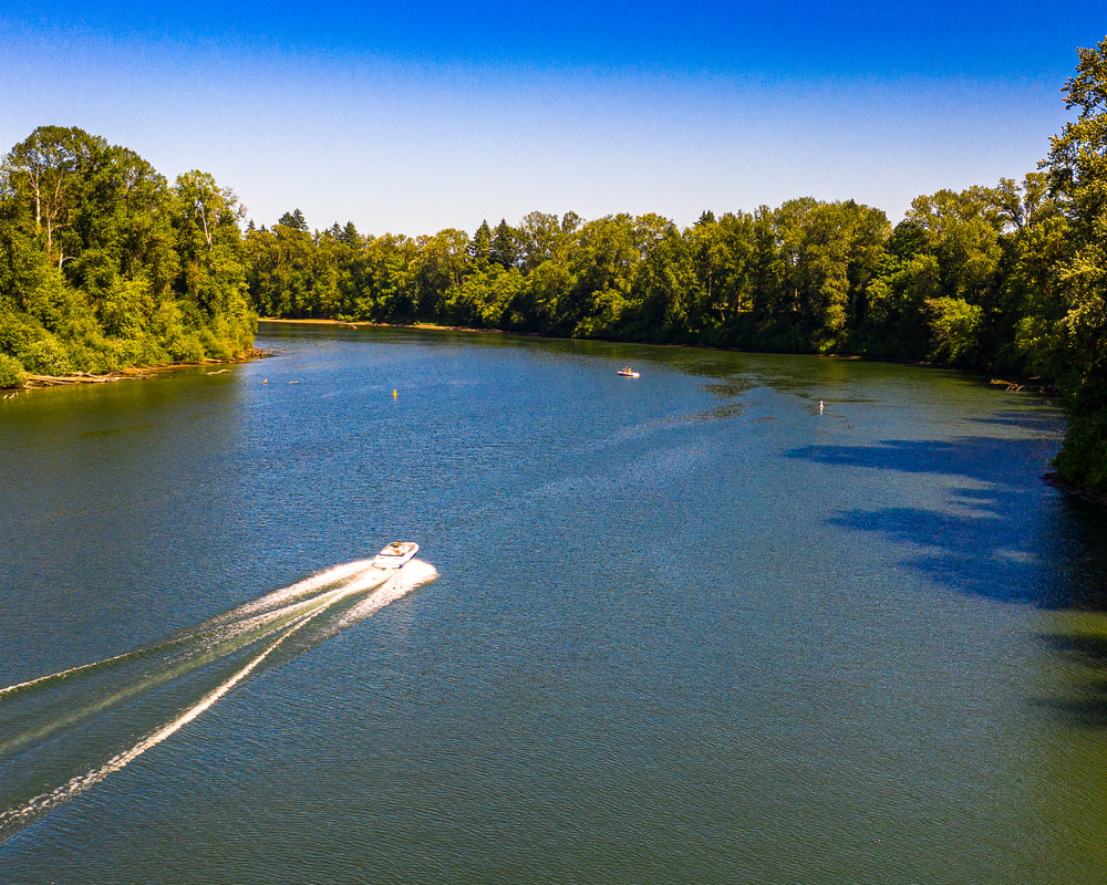
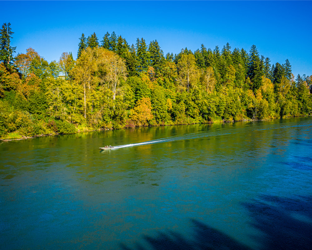
7. Boat going downstream at Champoeg State Park
The Willamette River viewed from a drone
8. Looking downstream from San Salvador Beach
The Willamette River viewed from a drone
9. Looking upstream from San Salvador Beach
The Willamette River viewed from a drone
10. Boat going upstream at San Salvador Beach
Previous
Next
Scenic ground-level photos, interactive aerial
panoramas, and videos of everyday rural Oregon

Site last updated 4/25/2022
  • Home
  • About
  • Landscapes
    • Columbia County Landscapes
    • Washington County Landscapes >
      • Washington County 360-degree panoramas
    • Yamhill County Landscapes >
      • Yamhill County 360-degree panoramas
    • Multnomah County Landscapes
    • Clackamas County Landscapes
    • Marion County Landscapes
    • Polk County Landscapes
    • Landscape videos
  • Willamette River
    • Willamette River Aerial Panoramas >
      • Columbia River to Oregon City
      • Oregon City to Salem
      • Salem to Springfield
      • The Coast Fork
      • The Middle Fork and the North Fork
    • Willamette River aerial photos >
      • Columbia to Burlingame Bridge
      • Burlingame Bridge to Ross Island Bridge
      • Ross Island to Elk Rock Island
      • Lake Oswego RR Bridge to Hog Island
      • Hog Island to Cedar Island
      • Meldrum Bay Park to Willamette Falls
      • Willamette Park to Wilsonville
      • Butteville Landing to San Salvador Beach
      • Grand Island to Willamette Mission Park
      • Spring Valley Greenway to Sunset Park
      • Buena Vista
    • Willamette River video
  • Cards (PW protected)
  • FAQ
  • Contact Us
  • Search