Scenic images (aerial and ground, panoramas, & videos) of everyday rural Oregon
  • Home
  • About
  • Landscapes
    • Columbia County Landscapes
    • Washington County Landscapes >
      • Washington County 360-degree panoramas
    • Yamhill County Landscapes >
      • Yamhill County 360-degree panoramas
    • Multnomah County Landscapes
    • Clackamas County Landscapes
    • Marion County Landscapes
    • Polk County Landscapes
    • Landscape videos
  • Willamette River
    • Willamette River Aerial Panoramas >
      • Columbia River to Oregon City
      • Oregon City to Salem
      • Salem to Springfield
      • The Coast Fork
      • The Middle Fork and the North Fork
    • Willamette River aerial photos >
      • Columbia to Burlingame Bridge
      • Burlingame Bridge to Ross Island Bridge
      • Ross Island to Elk Rock Island
      • Lake Oswego RR Bridge to Hog Island
      • Hog Island to Cedar Island
      • Meldrum Bay Park to Willamette Falls
      • Willamette Park to Wilsonville
      • Butteville Landing to San Salvador Beach
      • Grand Island to Willamette Mission Park
      • Spring Valley Greenway to Sunset Park
      • Buena Vista
    • Willamette River video
  • Cards (PW protected)
  • FAQ
  • Contact Us
  • Search
Picture

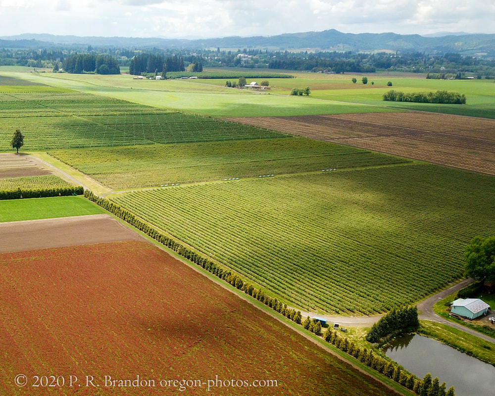
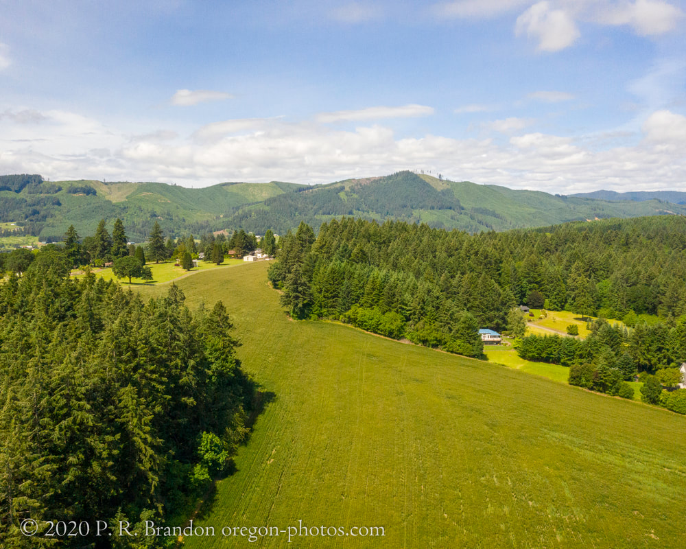
Click on images to open interactive 360° aerial panoramas.
Click on map buttons to see where the panoramas were photographed.

​
Picture
1. Forest Glen Park, Forest Grove, July 2019
Map
Link to Washington County aerial 360° photo
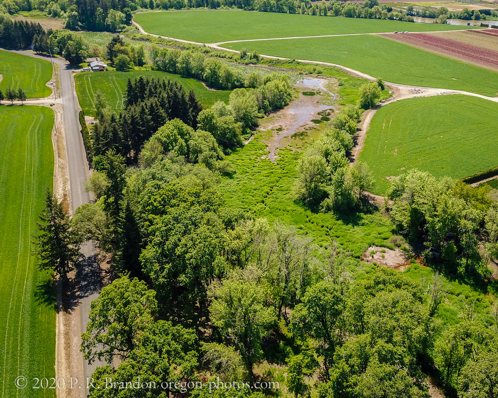
2. Clapshaw Rd., Forest Grove, May 2020
Map
Link to Washington County aerial 360° photo
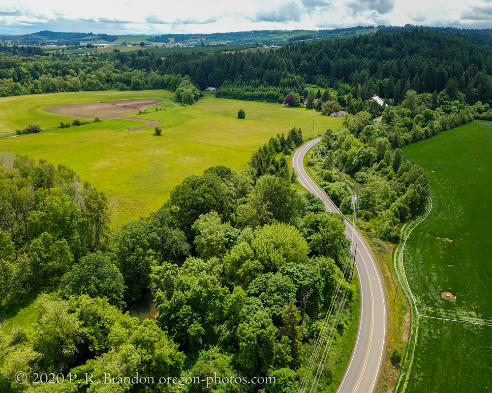
3. Cornelius Schefflin Rd., Forest Grove, May 2020
Map
Link to Washington County aerial 360° photo
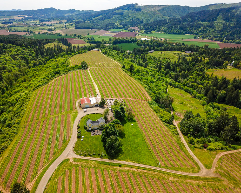
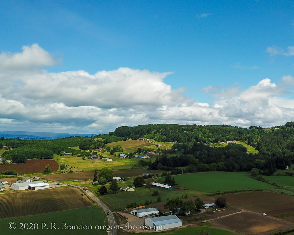
4. David Hill Rd., Forest Grove, May 2020
Map
Link to Washington County aerial 360° photo
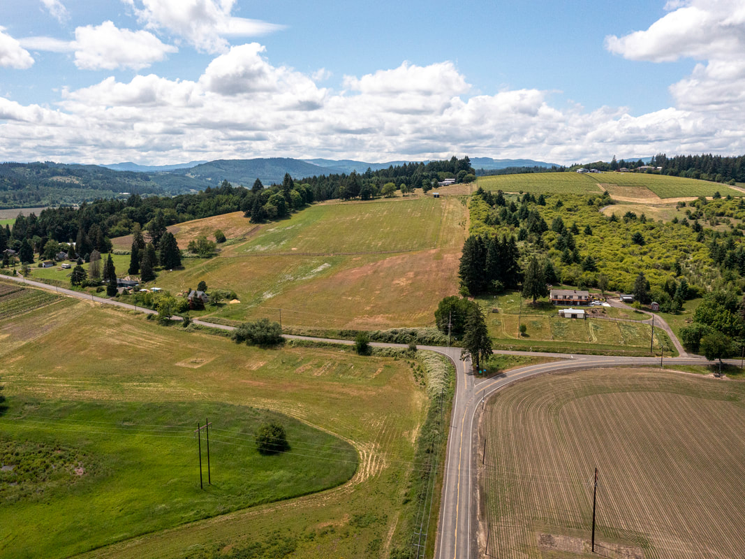
5. Kemper Rd., Forest Grove, May 2020
Map
Link to Washington County aerial 360° photo
6. NW Hillside Rd., Forest Grove, June 2020
Map
Link to Washington County aerial 360° photo
7. NW Purdin Rd., Forest Grove, May 2020
map
Link to Washington County aerial 360° photo
8. NW Evers Rd., Forest Grove, May 2020
Map
Link to Washington County aerial 360° photo
9. Fern Hill Rd., Forest Grove, May 2020
Map
Link to Washington County aerial 360° photo
10, NW Spring Hill Rd., Gaston, May 2020
Map
Link to Washington County aerial 360° photo
11. SW Old Hwy. 47, Gaston, June 2020
Map
Link to Washington County aerial 360° photo
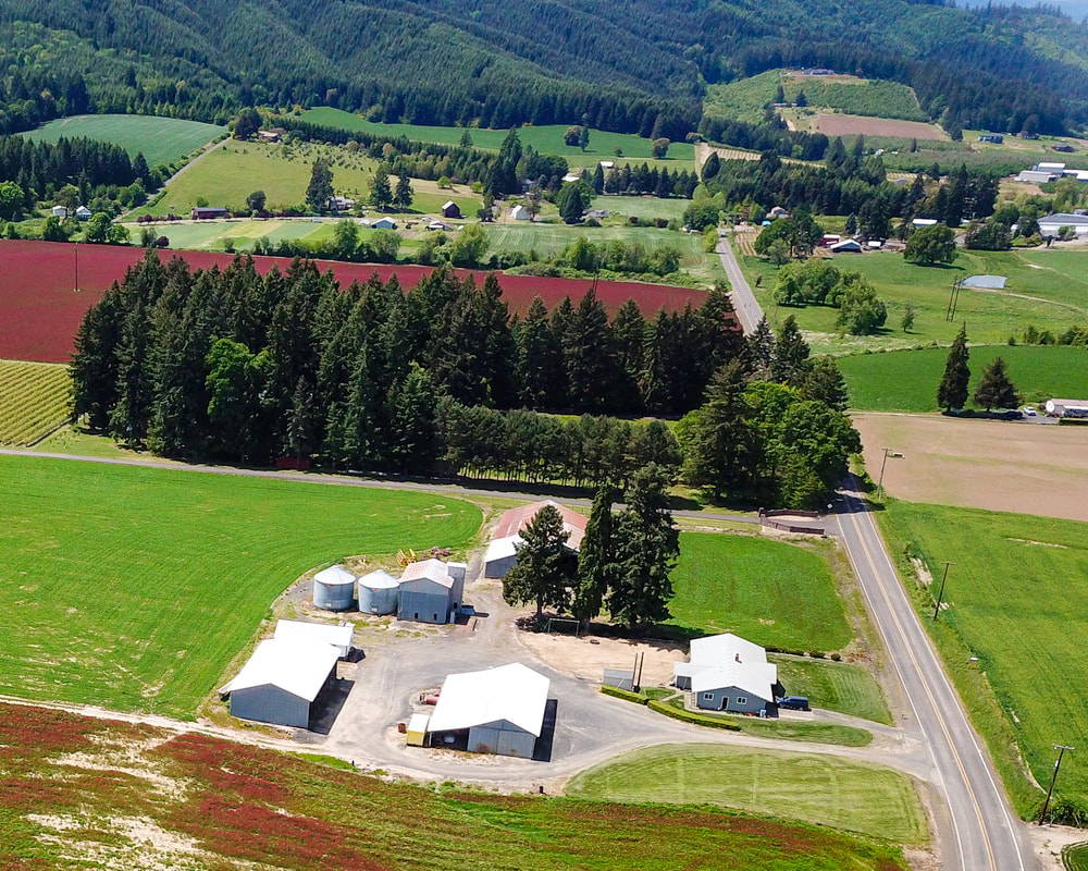
12. NW Verboort Rd., Forest Grove, May 2020
Map
Picture
13. Thatcher Park, Forest Grove, June 2020
Map
Scenic ground-level photos, interactive aerial
panoramas, and videos of everyday rural Oregon

Site last updated 4/25/2022
  • Home
  • About
  • Landscapes
    • Columbia County Landscapes
    • Washington County Landscapes >
      • Washington County 360-degree panoramas
    • Yamhill County Landscapes >
      • Yamhill County 360-degree panoramas
    • Multnomah County Landscapes
    • Clackamas County Landscapes
    • Marion County Landscapes
    • Polk County Landscapes
    • Landscape videos
  • Willamette River
    • Willamette River Aerial Panoramas >
      • Columbia River to Oregon City
      • Oregon City to Salem
      • Salem to Springfield
      • The Coast Fork
      • The Middle Fork and the North Fork
    • Willamette River aerial photos >
      • Columbia to Burlingame Bridge
      • Burlingame Bridge to Ross Island Bridge
      • Ross Island to Elk Rock Island
      • Lake Oswego RR Bridge to Hog Island
      • Hog Island to Cedar Island
      • Meldrum Bay Park to Willamette Falls
      • Willamette Park to Wilsonville
      • Butteville Landing to San Salvador Beach
      • Grand Island to Willamette Mission Park
      • Spring Valley Greenway to Sunset Park
      • Buena Vista
    • Willamette River video
  • Cards (PW protected)
  • FAQ
  • Contact Us
  • Search