Home
About
Landscapes
Barns
Willamette River
Cards for Sale
FAQ
Contact Us
Page 1
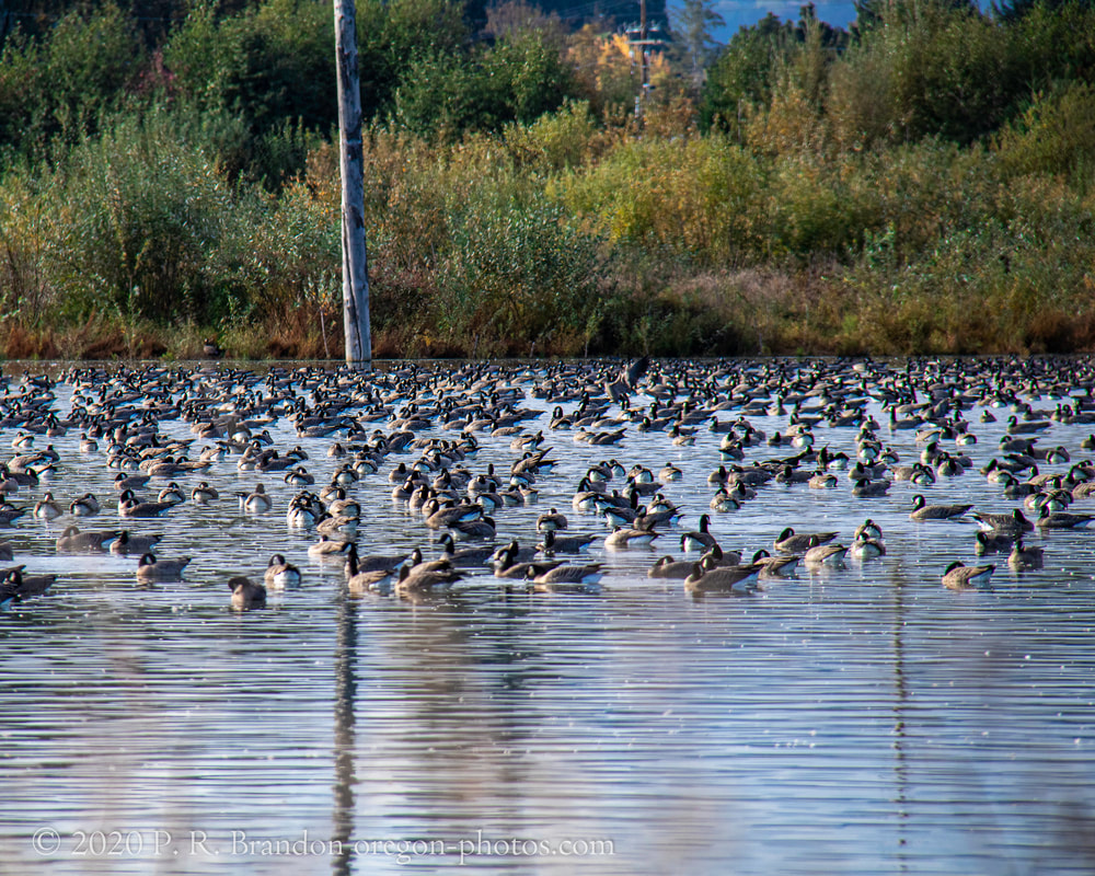
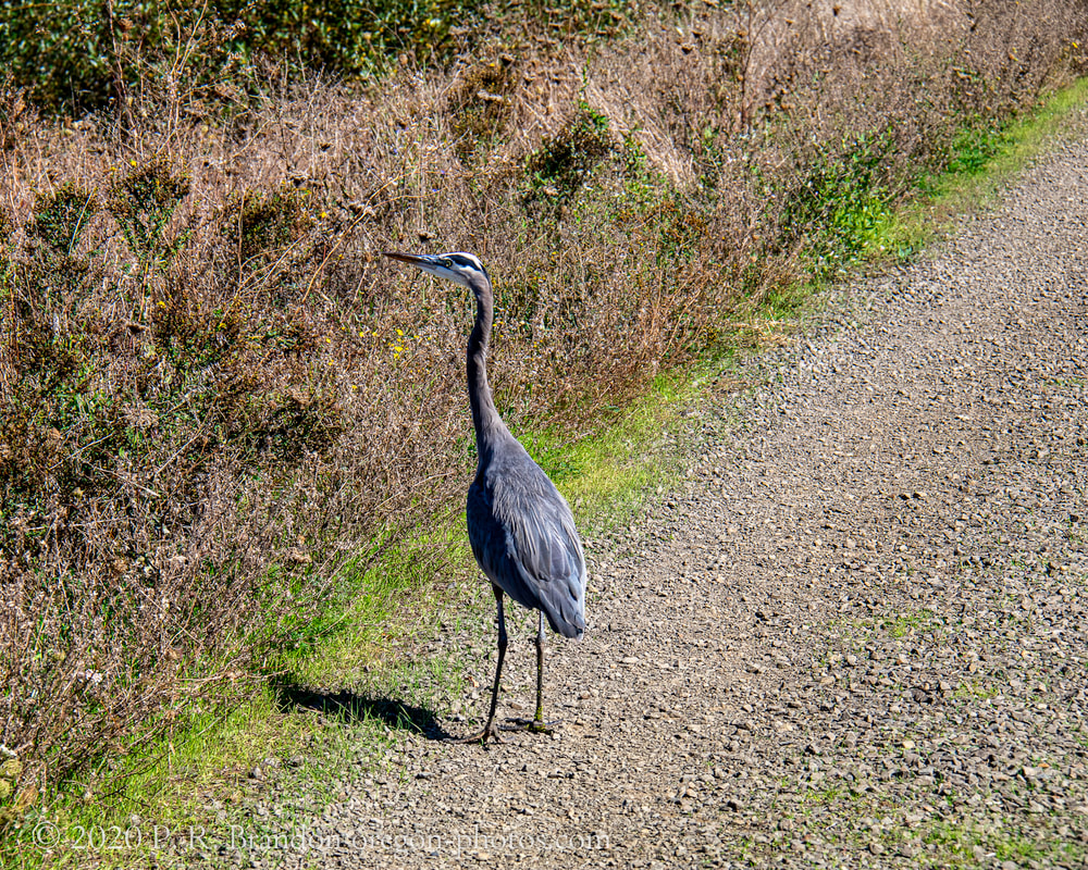
1. SW Fern Hill Rd.
Map
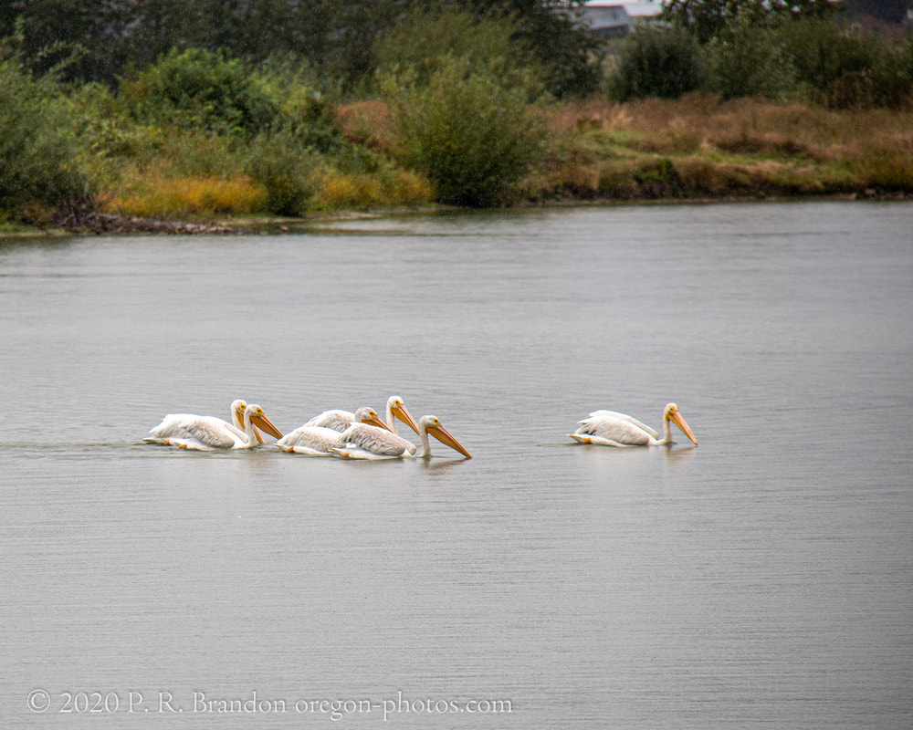
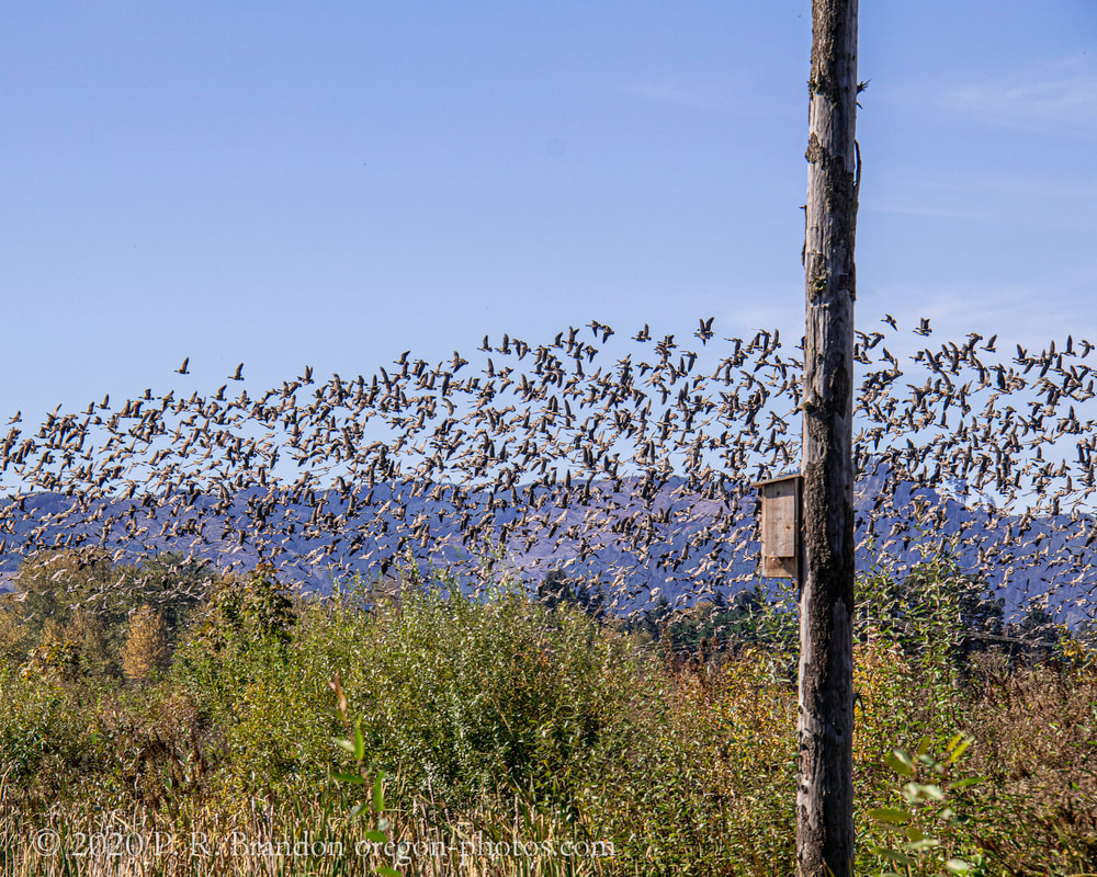
2. SW Fern Hill Rd.
Map
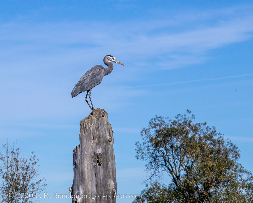
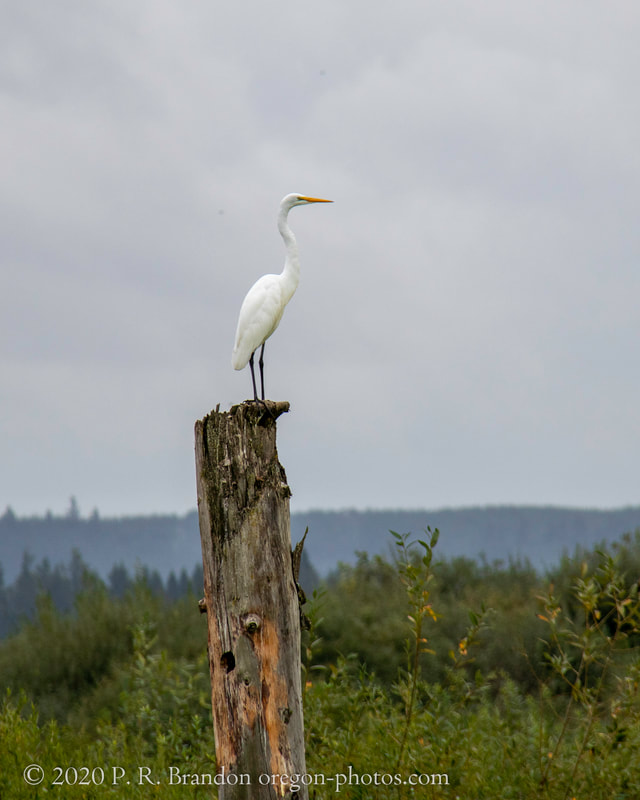
3. SW Fern Hill Rd.
Map
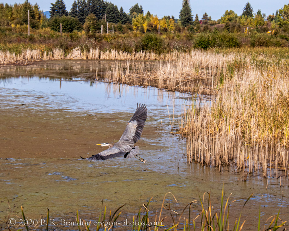
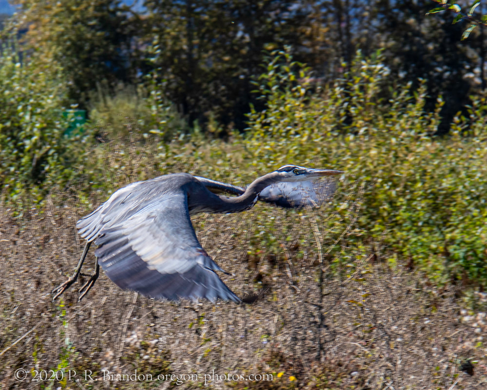
4. SW Fern Hill Rd.
Map
5. SW Fern Hill Rd.
Map
6. SW Fern Hill Rd.
Map
7. SW Fern Hill Rd.
Map
8. SW Fern Hill Rd.
Map
9. SW Fern Hill Rd.
Map
10. SW Fern Hill Rd.
Map
next
Home
About
Landscapes
Barns
Willamette River
Cards for Sale
FAQ
Contact Us