Scenic images (aerial and ground, panoramas, & videos) of everyday rural Oregon
  • Home
  • About
  • Barns
  • Landscapes
  • Willamette River
  • Cards for Sale
  • FAQ
  • Contact Us
Picture

​


​

​
​Click images for maps showing where the photos were taken.​
Columbia River from Washington side
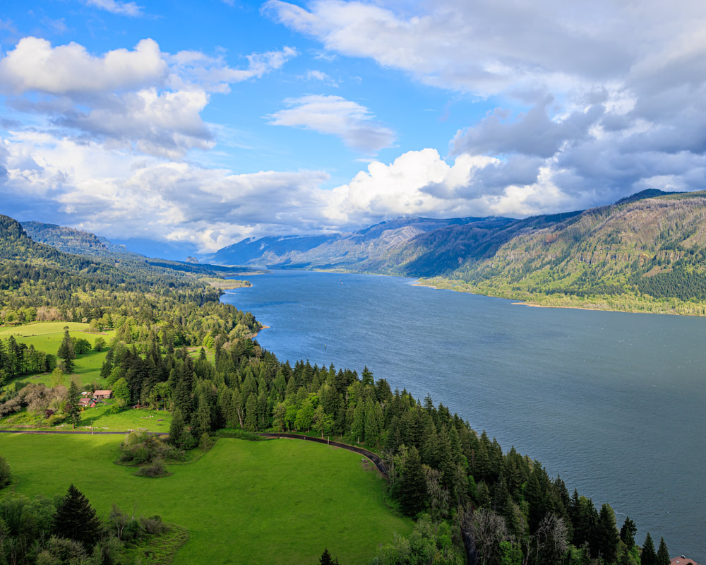
4. Looking up the Columbia from Cape Horn, WA, approximately cross from Bridal Vail, Oregon
Multnomah County Oregon landscape
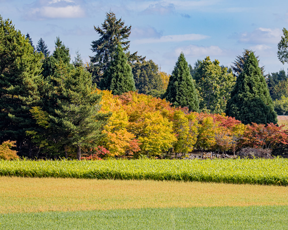
3. NW Sauvie Island Rd., Holbrook
Multnomah County Oregon landscape
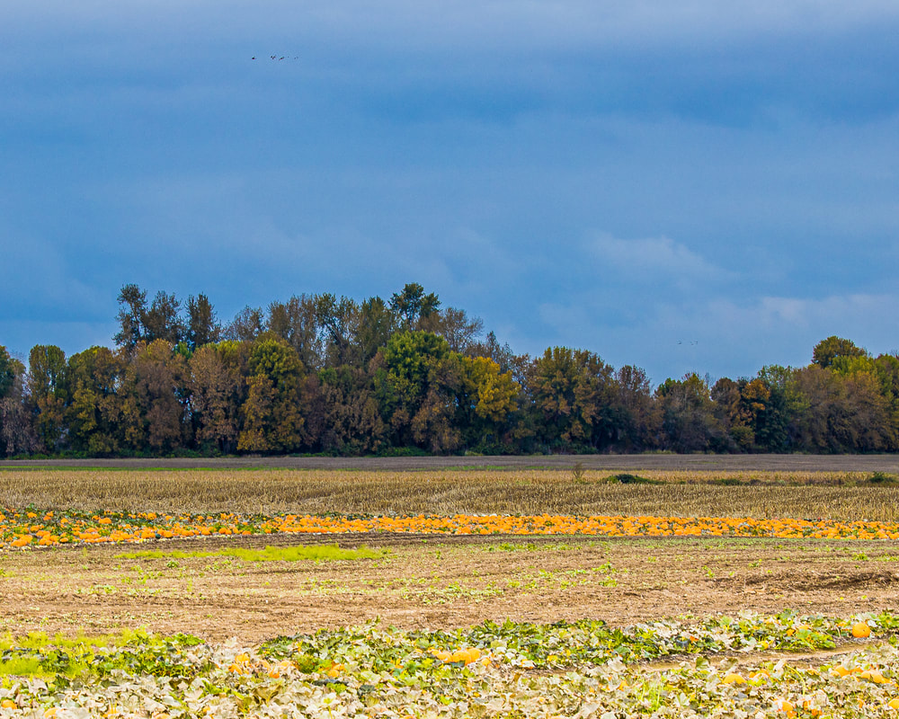
2. NW Reeder Rd., Sauvie Island
Sauvie Island Bridge (drone view)
1. NW Sauvie Island Rd., Linnton
Scenic ground-level photos, interactive aerial
panoramas, and videos of everyday rural Oregon

Site last modified 2/7/23
  • Home
  • About
  • Barns
  • Landscapes
  • Willamette River
  • Cards for Sale
  • FAQ
  • Contact Us