Dilley, Patton, Cherry Grove,
Gaston, & Laurelwood
Click images for maps showing where the photos were taken.
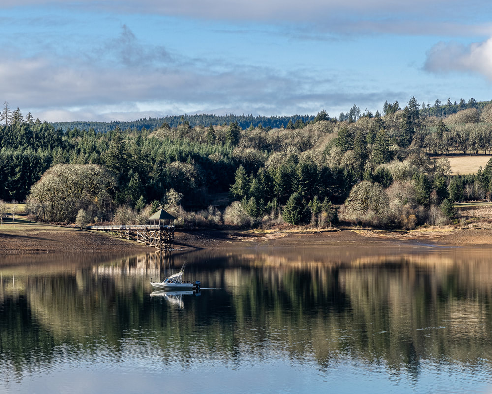
13. Henry Haag Lake, Cherry Grove
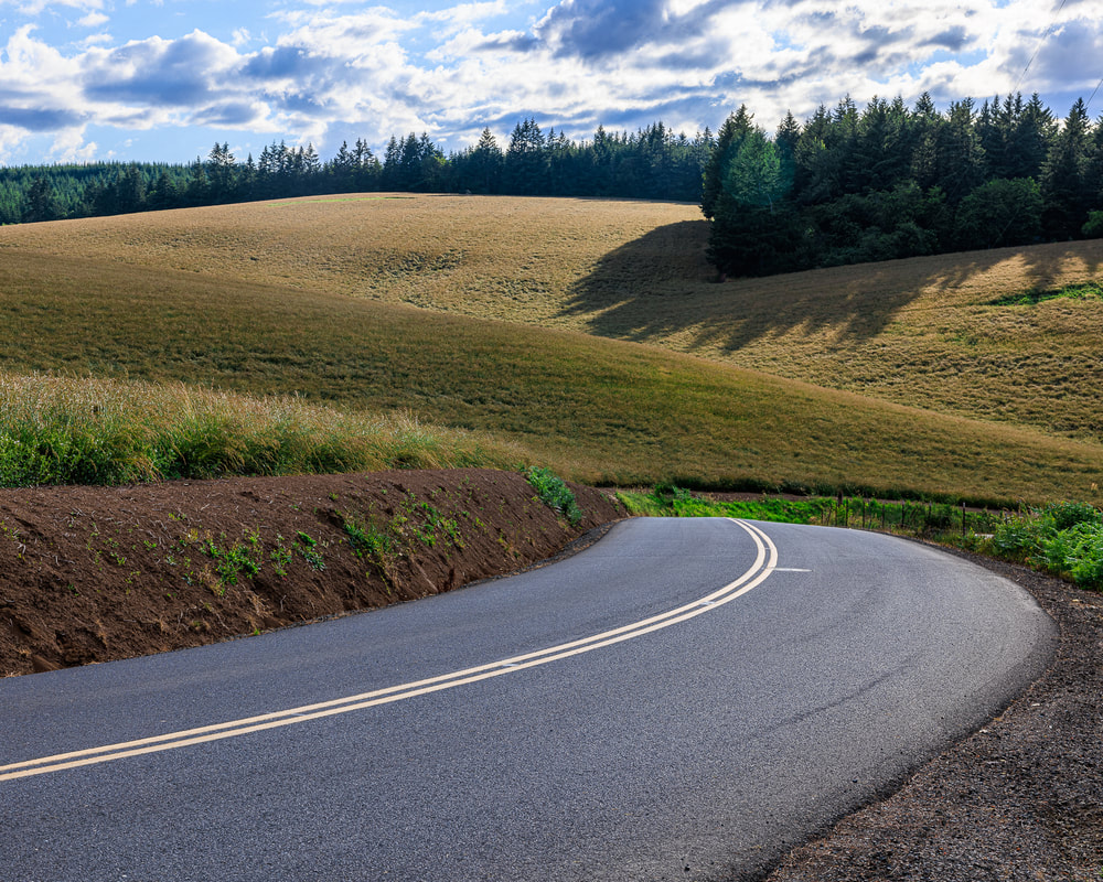
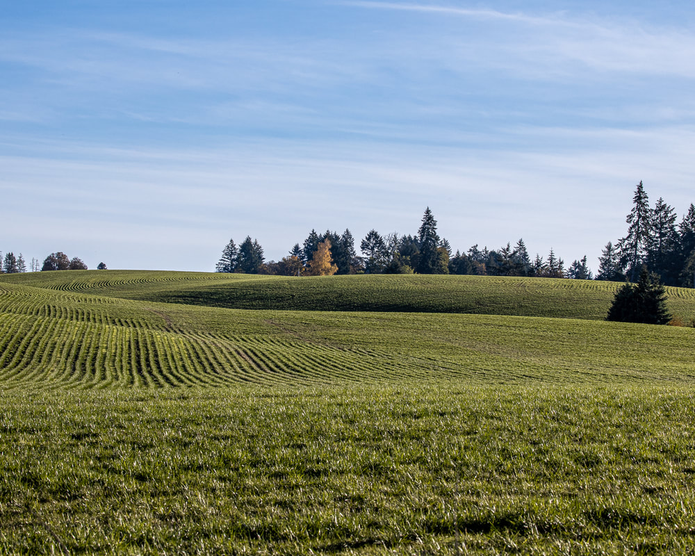
12. Dixon Mill Rd., Laurelwood
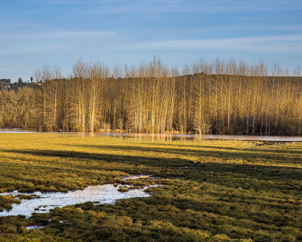
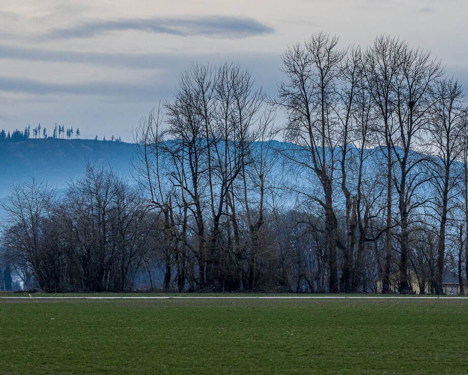 11. NW Gordon Rd., North Plains
10. SW Dixon Mill Rd., Laurelwood
9. Tualatin Valley Hwy., Dilley
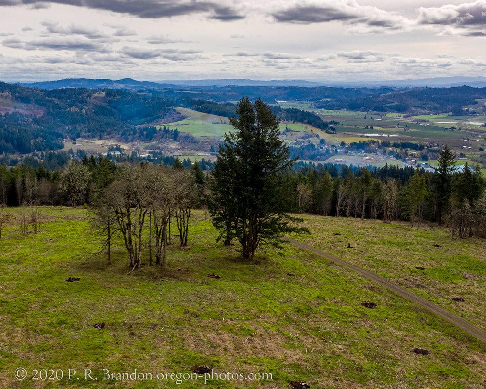
8. SW Scoggins Valley Rd., Patton
7. SW Dixon Mill Rd., Laurelwood
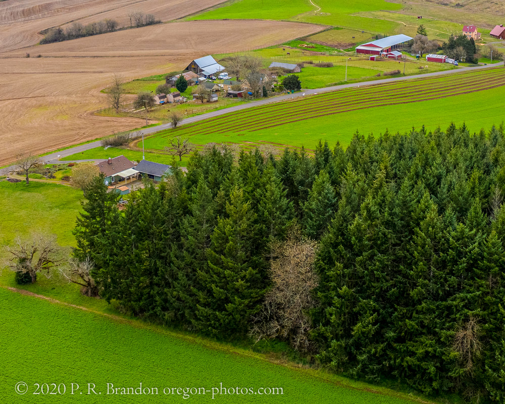
6. SW Spring Hill Rd., Gaston
5. SW Dixon Mill Rd., Laurelwood
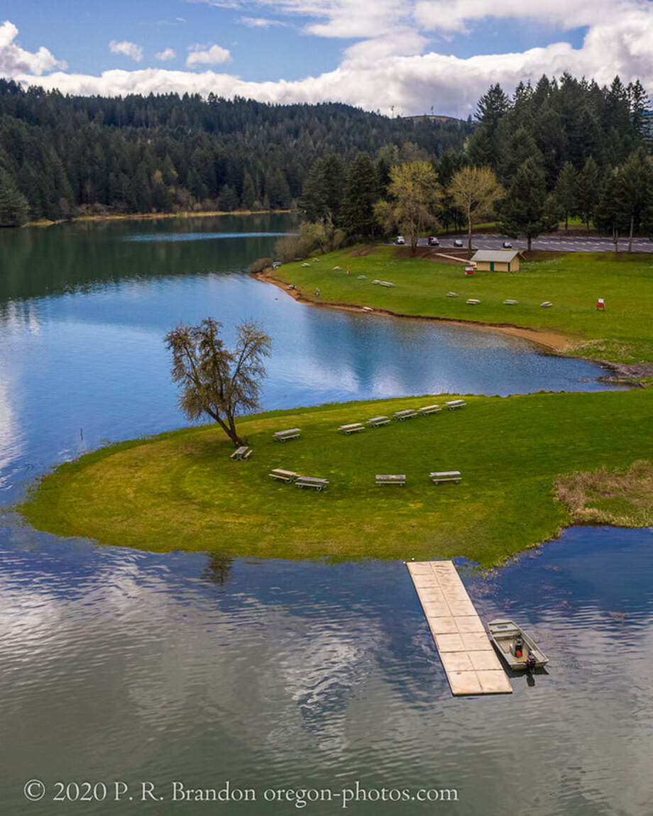
4. Henry Haag Lake, Cherry Grove
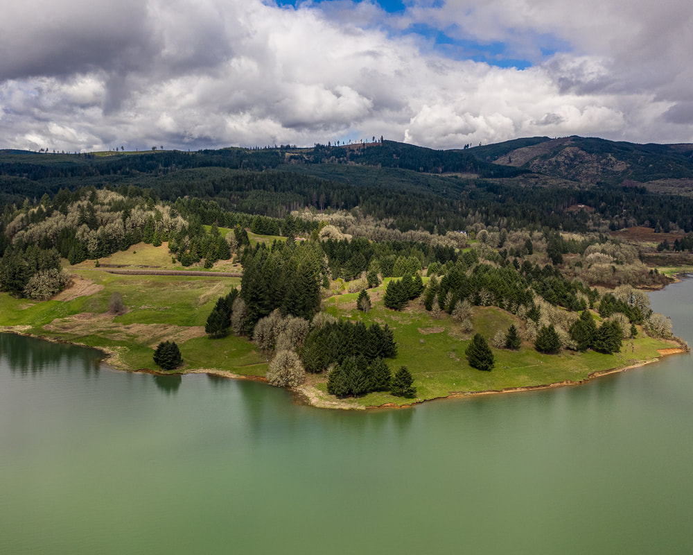
3. Henry Haag Lake, Cherry Grove
2. NW Goodin Creek Rd., Gaston
1. Tualatin Valley Hwy., Patton